Barbosa night lights from space
Night Light of Barbosa (Santander) from space (Colombia) Src. Average luminocity for 10x10km area is 6.4959% and for 50x50km: 0.7524%.

Analysis of Barbosa night lights 2016
Square area 10x10 km:
 0.62%
0.62%90-99
1.03%80-89
1.24%70-79
1.24%60-69
0.41%50-59
0.83%40-49
1.65%30-39
0%20-29
0%10-19
1.65%0-9
91.32%Square area 50x50 km:
0.03%90-99
0.08%80-89
0.1%70-79
0.13%60-69
0.21%50-59
0.09%40-49
0.12%30-39
0.21%20-29
0.1%10-19
0.1%0-9
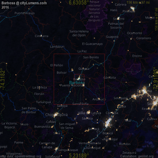
98.83%Clear (daylight) street map image can be seen on geolist.org.
Map coordinates:
6° 37' 50.1" North, 74° 19' 5.5" West
5° 55' 54" North, 73° 36' 54.3" West
5° 13' 54.8" North, 72° 54' 43" West
Some cities around Barbosa sort by population:
• Tunja
51.9 km =32.2 mi,  148°
148°
• Chiquinquirá
41.6 km =25.8 mi,  212°
212°
• Paipa
57.6 km =35.8 mi,  107°
107°
• Cimitarra
56.4 km =35 mi,  318°
318°
• Vélez
11.1 km =6.9 mi, 324°
• Moniquirá
7.7 km =4.8 mi,  142°
142°
• Puente Nacional
9.2 km =5.7 mi,  229°
229°
• Villa de Leyva
34.6 km =21.5 mi,  163°
163°
3689206 (p: 20,372)
Sources (retrieved 2019-11-25):
» Earth at Night: Flat Maps 2012, 2016