Itagüí night lights from space
Night Light of Itagüí (Antioquia) from space (Colombia) Src. Average luminocity for 10x10km area is 86.4669% and for 50x50km: 25.6296%.
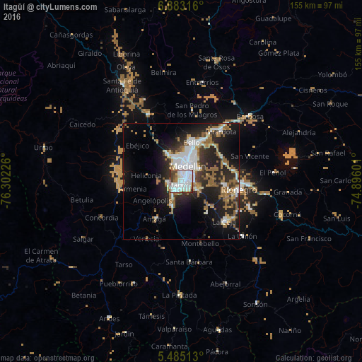
Analysis of Itagüí night lights 2016
Square area 10x10 km:
 47.93%
90-99
20.87%80-89
5.37%70-79
4.55%60-69
5.37%50-59
3.1%40-49
5.79%30-39
6.82%20-29
0.21%10-19
0%0-9
0%Square area 50x50 km:
5.82%90-99
4.4%80-89
1.79%70-79
2.31%60-69
4.31%50-59
5.07%40-49
1.03%30-39
3.03%20-29
9.03%10-19
13.79%0-9
49.43%Clear (daylight) street map image can be seen on geolist.org.
Map coordinates:
6° 52' 59.4" North, 76° 18' 8.1" West
6° 11' 4.6" North, 75° 35' 56.9" West
5° 29' 6.5" North, 74° 53' 45.6" West
Some cities around Itagüí sort by population:
• Medellín
8.4 km =5.2 mi,  27°
27°
• Bello
17.6 km =10.9 mi,  15°
15°
• Envigado
1.3 km =0.8 mi,  139°
139°
• Caldas
11.2 km =7 mi,  201°
201°
• La Estrella
5.7 km =3.5 mi,  238°
238°
• Sabaneta
4.2 km =2.6 mi,  207°
207°
• Amagá
19.8 km =12.3 mi,  215°
215°
• Retiro
17.6 km =10.9 mi, 142°
3680450 (p: 281,853)
Sources (retrieved 2019-11-25):
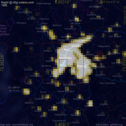
» NASA, Earths city lights 1995
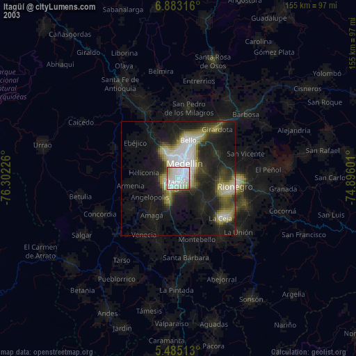
» NASA city lights 2003
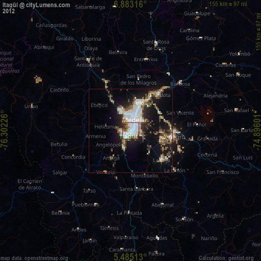
» Earth at Night: Flat Maps 2012, 2016