Bello night lights from space
Night Light of Bello (Antioquia) from space (Colombia) Src. Average luminocity for 10x10km area is 59.8745% and for 50x50km: 25.9396%.
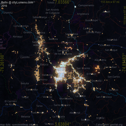
Analysis of Bello night lights 2016
Square area 10x10 km:
 19.7%
19.7%90-99
16.67%80-89
2.6%70-79
6.71%60-69
4.55%50-59
5.84%40-49
2.81%30-39
8.87%20-29
17.53%10-19
12.55%0-9
2.16%Square area 50x50 km:
6.02%90-99
4.51%80-89
1.67%70-79
2.92%60-69
4.27%50-59
4.82%40-49
1.06%30-39
3.04%20-29
8.51%10-19
12.51%0-9
50.68%Clear (daylight) street map image can be seen on geolist.org.
Map coordinates:
7° 2' 8.4" North, 76° 15' 39.9" West
6° 20' 14.4" North, 75° 33' 28.6" West
5° 38' 16.9" North, 74° 51' 17.4" West
Some cities around Bello sort by population:
• Medellín
9.5 km =5.9 mi,  183°
183°
• Itagüí
17.6 km =10.9 mi,  195°
195°
• Envigado
18.3 km =11.4 mi,  191°
191°
• La Estrella
22.1 km =13.7 mi,  205°
205°
• Copacabana
5.5 km =3.4 mi,  79°
79°
• Sabaneta
21.7 km =13.5 mi, 197°
• Guarne
14.1 km =8.8 mi,  116°
116°
• San Pedro
13.8 km =8.6 mi,  0°
0°
3688928 (p: 392,939)
Sources (retrieved 2019-11-25):
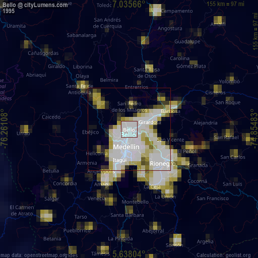
» NASA, Earths city lights 1995
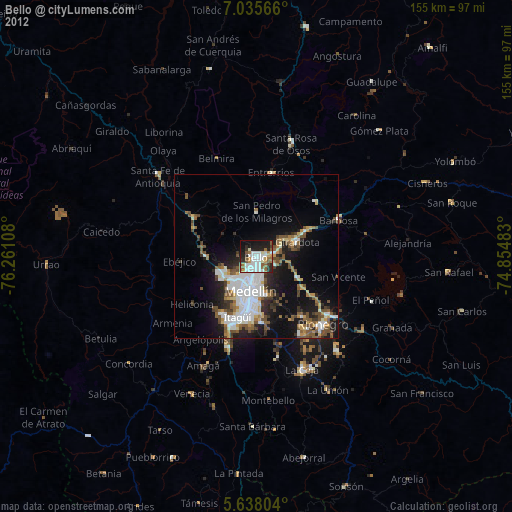
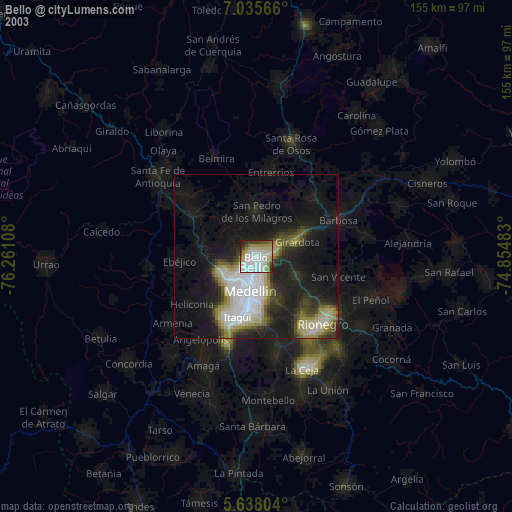
» NASA city lights 2003
» Earth at Night: Flat Maps 2012, 2016