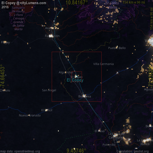
El Copey night lights from space
Night Light of El Copey (Cesar) from space (Colombia) Src. Average luminocity for 10x10km area is 4.7913% and for 50x50km: 0.8951%.
Analysis of El Copey night lights 2016
Square area 10x10 km:
 0.41%
0.41%90-99
1.24%80-89
0%70-79
1.86%60-69
0.62%50-59
0%40-49
0%30-39
0.62%20-29
1.86%10-19
0%0-9
93.39%Square area 50x50 km:
0.12%90-99
0.12%80-89
0%70-79
0.23%60-69
0.15%50-59
0.16%40-49
0%30-39
0.31%20-29
0.19%10-19
0.04%0-9
98.69%Clear (daylight) street map image can be seen on geolist.org.
Map coordinates:
10° 50' 30" North, 74° 39' 52.3" West
10° 9' 1.1" North, 73° 57' 41" West
9° 27' 26.9" North, 73° 15' 29.8" West
Some cities around El Copey sort by population:
• Fundación
47.9 km =29.8 mi,  329°
329°
• Aracataca
55.1 km =34.2 mi, 333°
• Ariguaní
11.9 km =7.4 mi,  339°
339°
• El Retén
61.3 km =38.1 mi, 326°
• Algarrobo
67.3 km =41.8 mi,  273°
273°
• Astrea
72.5 km =45 mi,  181°
181°
• Concordia
64.4 km =40 mi,  237°
237°
• El Paso
59.6 km =37 mi,  156°
156°
3684452 (p: 18,136)
Sources (retrieved 2019-11-25):
» Earth at Night: Flat Maps 2012, 2016