El Paso night lights from space
Night Light of El Paso (Cesar) from space (Colombia) Src. Average luminocity for 10x10km area is 2.4762% and for 50x50km: 1.3934%.
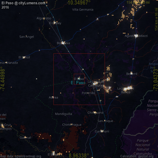
Analysis of El Paso night lights 2016
Square area 10x10 km:
 0.22%
0.22%90-99
0.65%80-89
0%70-79
0%60-69
0%50-59
0%40-49
2.6%30-39
0.87%20-29
0%10-19
0%0-9
95.67%Square area 50x50 km:
0.14%90-99
0.13%80-89
0.1%70-79
0.08%60-69
0.25%50-59
0.06%40-49
0.29%30-39
0.58%20-29
0.13%10-19
0.25%0-9
97.99%Clear (daylight) street map image can be seen on geolist.org.
Map coordinates:
10° 20' 58.8" North, 74° 26' 59.9" West
9° 39' 26.1" North, 73° 44' 48.7" West
8° 57' 48.2" North, 73° 2' 37.4" West
Some cities around El Paso sort by population:
• Agustín Codazzi
70.1 km =43.6 mi,  53°
53°
• Curumaní
55.6 km =34.5 mi,  156°
156°
• La Jagua de Ibirico
46.5 km =28.9 mi,  103°
103°
• El Copey
59.6 km =37 mi,  336°
336°
• Chimichagua
45 km =28 mi,  189°
189°
• Chiriguaná
36.4 km =22.6 mi,  154°
154°
• Becerril
51.5 km =32 mi,  84°
84°
• Astrea
30.7 km =19.1 mi,  234°
234°
3683538 (p: 6,367)
Sources (retrieved 2019-11-25):
» Earth at Night: Flat Maps 2012, 2016