Ariguaní night lights from space
Night Light of Ariguaní (Cesar) from space (Colombia) Src. Average luminocity for 10x10km area is 0.1364% and for 50x50km: 0.6029%.
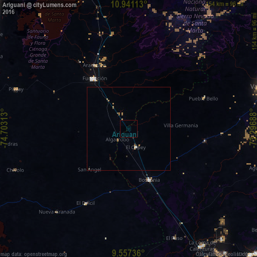
Analysis of Ariguaní night lights 2016
Square area 10x10 km:
 0%
0%90-99
0%80-89
0%70-79
0%60-69
0%50-59
0%40-49
0%30-39
0%20-29
0%10-19
0%0-9
100%Square area 50x50 km:
0.02%90-99
0.05%80-89
0%70-79
0.23%60-69
0.19%50-59
0.12%40-49
0%30-39
0.13%20-29
0.13%10-19
0.04%0-9
99.09%Clear (daylight) street map image can be seen on geolist.org.
Map coordinates:
10° 56' 28.1" North, 74° 42' 11.3" West
10° 15' 0" North, 74° 0' 0" West
9° 33' 26.5" North, 73° 17' 48.8" West
Some cities around Ariguaní sort by population:
• Fundación
36.3 km =22.6 mi,  326°
326°
• Pivijay
71.4 km =44.4 mi,  289°
289°
• Aracataca
43.3 km =26.9 mi, 331°
• El Copey
11.9 km =7.4 mi,  159°
159°
• El Retén
49.7 km =30.9 mi,  323°
323°
• Algarrobo
63.3 km =39.3 mi,  263°
263°
• Concordia
67.9 km =42.2 mi,  227°
227°
• El Paso
71.5 km =44.4 mi, 157°
3689589 (p: 26,246)
Sources (retrieved 2019-11-25):
» Earth at Night: Flat Maps 2012, 2016