Algarrobo night lights from space
Night Light of Algarrobo (Magdalena) from space (Colombia) Src. Average luminocity for 10x10km area is 0% and for 50x50km: 0.1944%.
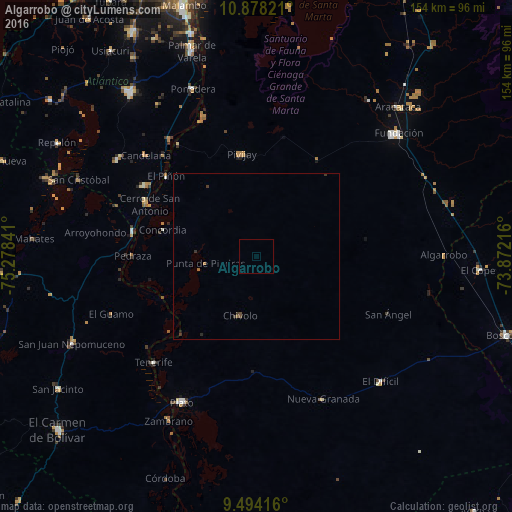
Analysis of Algarrobo night lights 2016
Square area 10x10 km:
 0%
0%90-99
0%80-89
0%70-79
0%60-69
0%50-59
0%40-49
0%30-39
0%20-29
0%10-19
0%0-9
100%Square area 50x50 km:
0%90-99
0%80-89
0%70-79
0%60-69
0.07%50-59
0.03%40-49
0.07%30-39
0.2%20-29
0.05%10-19
0.02%0-9
99.56%Clear (daylight) street map image can be seen on geolist.org.
Map coordinates:
10° 52' 41.6" North, 75° 16' 42.3" West
10° 11' 13" North, 74° 34' 31" West
9° 29' 39" North, 73° 52' 19.8" West
Some cities around Algarrobo sort by population:
• Pivijay
30.9 km =19.2 mi,  351°
351°
• Campo de la Cruz
39.9 km =24.8 mi,  302°
302°
• Chivolo
18.7 km =11.6 mi,  196°
196°
• Suan
37.1 km =23.1 mi, 296°
• Calamar
38 km =23.6 mi,  281°
281°
• San Antonio
31.1 km =19.3 mi, 204°
• El Piñón
36.3 km =22.6 mi,  311°
311°
• Cerro de San Antonio
35.7 km =22.2 mi, 295°
3690172 (p: 10,042)
Sources (retrieved 2019-11-25):
» Earth at Night: Flat Maps 2012, 2016