Concordia night lights from space
Night Light of Concordia (Magdalena) from space (Colombia) Src. Average luminocity for 10x10km area is 0.0649% and for 50x50km: 0.2631%.
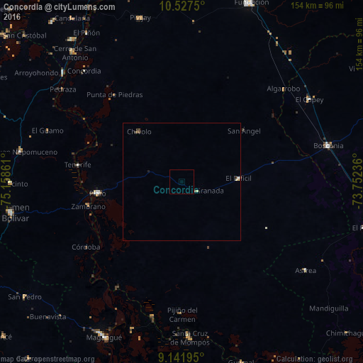
Analysis of Concordia night lights 2016
Square area 10x10 km:
 0%
0%90-99
0%80-89
0%70-79
0%60-69
0%50-59
0%40-49
0%30-39
0%20-29
0%10-19
0%0-9
100%Square area 50x50 km:
0.02%90-99
0.04%80-89
0.04%70-79
0.03%60-69
0%50-59
0.07%40-49
0.1%30-39
0.08%20-29
0.03%10-19
0%0-9
99.58%Clear (daylight) street map image can be seen on geolist.org.
Map coordinates:
10° 31' 39" North, 75° 9' 31" West
9° 50' 7.6" North, 74° 27' 19.7" West
9° 8' 31" North, 73° 45' 8.5" West
Some cities around Concordia sort by population:
• Plato
36.2 km =22.5 mi,  262°
262°
• Santa Ana
58.5 km =36.4 mi,  192°
192°
• Chivolo
27.9 km =17.3 mi,  318°
318°
• Algarrobo
41.2 km =25.6 mi,  341°
341°
• Zambrano
40.7 km =25.3 mi, 256°
• San Antonio
28.2 km =17.5 mi,  292°
292°
• Córdoba
49.3 km =30.6 mi,  235°
235°
• Pijiño del Carmen
56.3 km =35 mi,  179°
179°
3686011 (p: 6,624)
Sources (retrieved 2019-11-25):
» Earth at Night: Flat Maps 2012, 2016