Aracataca night lights from space
Night Light of Aracataca (Magdalena) from space (Colombia) Src. Average luminocity for 10x10km area is 13.1116% and for 50x50km: 2.1392%.
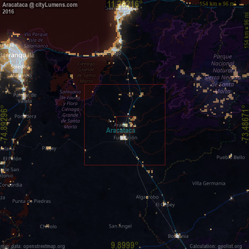
Analysis of Aracataca night lights 2016
Square area 10x10 km:
 0.41%
0.41%90-99
0.83%80-89
0.41%70-79
3.31%60-69
4.55%50-59
0.83%40-49
0.83%30-39
1.65%20-29
0.83%10-19
1.45%0-9
84.92%Square area 50x50 km:
0.24%90-99
0.21%80-89
0.08%70-79
0.35%60-69
0.94%50-59
0.11%40-49
0.03%30-39
0.2%20-29
0.13%10-19
0.24%0-9
97.47%Clear (daylight) street map image can be seen on geolist.org.
Map coordinates:
11° 16' 55.8" North, 74° 53' 34.7" West
10° 35' 30.5" North, 74° 11' 23.4" West
9° 53' 59.6" North, 73° 29' 12.2" West
Some cities around Aracataca sort by population:
• Ciénaga
46.6 km =29 mi,  352°
352°
• Fundación
7.9 km =4.9 mi,  176°
176°
• Pivijay
48.8 km =30.3 mi,  252°
252°
• Ariguaní
43.3 km =26.9 mi,  151°
151°
• El Copey
55.1 km =34.2 mi, 153°
• El Retén
8.8 km =5.5 mi,  284°
284°
• Puebloviejo
45.9 km =28.5 mi, 346°
• Remolino
58.8 km =36.5 mi, 282°
3689759 (p: 27,704)
Sources (retrieved 2019-11-25):
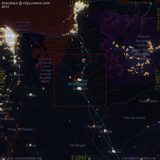
» Earth at Night: Flat Maps 2012, 2016