San Carlos night lights from space
Night Light of San Carlos (Antioquia) from space (Colombia) Src. Average luminocity for 10x10km area is 0.9277% and for 50x50km: 1.9662%.
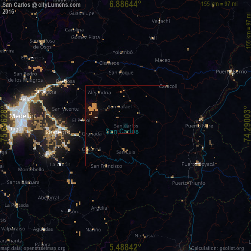
Analysis of San Carlos night lights 2016
Square area 10x10 km:
 0%
0%90-99
0%80-89
0%70-79
0%60-69
1.24%50-59
0%40-49
0%30-39
0%20-29
0%10-19
0%0-9
98.76%Square area 50x50 km:
0.01%90-99
0.03%80-89
0.02%70-79
1.41%60-69
0.52%50-59
0.1%40-49
0.01%30-39
0.06%20-29
0.03%10-19
0.37%0-9
97.44%Clear (daylight) street map image can be seen on geolist.org.
Map coordinates:
6° 53' 11.2" North, 75° 41' 46.6" West
6° 11' 16.4" North, 74° 59' 35.3" West
5° 29' 18.3" North, 74° 17' 24.1" West
Some cities around San Carlos sort by population:
• Marinilla
38 km =23.6 mi,  267°
267°
• Santuario
30.5 km =19 mi,  259°
259°
• San Rafael
12.4 km =7.7 mi,  343°
343°
• Granada
21.8 km =13.5 mi, 256°
• San Roque
33.2 km =20.6 mi,  354°
354°
• Guatapé
19.5 km =12.1 mi,  285°
285°
• Cocorná
25.7 km =16 mi,  235°
235°
• San Vicente
39.2 km =24.4 mi, 286°
3670000 (p: 7,742)
Sources (retrieved 2019-11-25):
» Earth at Night: Flat Maps 2012, 2016