Cimitarra night lights from space
Night Light of Cimitarra (Santander) from space (Colombia) Src. Average luminocity for 10x10km area is 1.3658% and for 50x50km: 0.0664%.
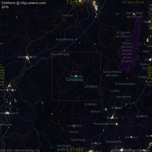
Analysis of Cimitarra night lights 2016
Square area 10x10 km:
 0%
0%90-99
0.87%80-89
0%70-79
0%60-69
0%50-59
0%40-49
0.87%30-39
0%20-29
0%10-19
0.87%0-9
97.4%Square area 50x50 km:
0%90-99
0.03%80-89
0%70-79
0%60-69
0%50-59
0%40-49
0.03%30-39
0.02%20-29
0.02%10-19
0.03%0-9
99.86%Clear (daylight) street map image can be seen on geolist.org.
Map coordinates:
7° 0' 45.2" North, 74° 39' 10.1" West
6° 18' 51.1" North, 73° 56' 58.8" West
5° 36' 53.6" North, 73° 14' 47.6" West
Some cities around Cimitarra sort by population:
• Chiquinquirá
79 km =49.1 mi,  169°
169°
• Puerto Berrío
53.9 km =33.5 mi,  291°
291°
• Barbosa
56.4 km =35 mi,  138°
138°
• Socorro
78.1 km =48.5 mi,  77°
77°
• Vélez
45.3 km =28.1 mi, 137°
• Moniquirá
64.1 km =39.8 mi, 139°
• Yondó
77.1 km =47.9 mi,  3°
3°
• Puente Nacional
57.1 km =35.5 mi,  148°
148°
3686255 (p: 11,267)
Sources (retrieved 2019-11-25):
» Earth at Night: Flat Maps 2012, 2016