Pivijay night lights from space
Night Light of Pivijay (Magdalena) from space (Colombia) Src. Average luminocity for 10x10km area is 4.4917% and for 50x50km: 1.0389%.
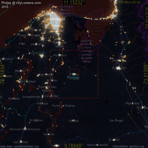
Analysis of Pivijay night lights 2016
Square area 10x10 km:
 0%
0%90-99
0%80-89
0%70-79
2.48%60-69
2.48%50-59
0%40-49
0%30-39
0%20-29
1.03%10-19
1.45%0-9
92.56%Square area 50x50 km:
0.05%90-99
0.08%80-89
0.03%70-79
0.22%60-69
0.43%50-59
0.06%40-49
0.15%30-39
0.23%20-29
0.24%10-19
0.19%0-9
98.32%Clear (daylight) street map image can be seen on geolist.org.
Map coordinates:
11° 9' 8.4" North, 75° 19' 9.6" West
10° 27' 42" North, 74° 36' 58.4" West
9° 46' 10.1" North, 73° 54' 47.1" West
Some cities around Pivijay sort by population:
• Campo de la Cruz
30.7 km =19.1 mi,  252°
252°
• Candelaria
28.8 km =17.9 mi,  269°
269°
• Ponedera
25.2 km =15.7 mi,  323°
323°
• Algarrobo
30.9 km =19.2 mi,  171°
171°
• Remolino
28.9 km =18 mi,  337°
337°
• El Piñón
23.7 km =14.7 mi, 253°
• Cerro de San Antonio
31.5 km =19.6 mi,  241°
241°
• Salamina
19.8 km =12.3 mi,  279°
279°
3672093 (p: 33,492)
Sources (retrieved 2019-11-25):
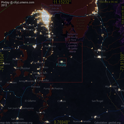
» Earth at Night: Flat Maps 2012, 2016