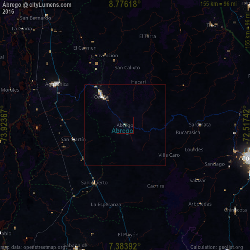
Ábrego night lights from space
Night Light of Ábrego (Norte de Santander) from space (Colombia) Src. Average luminocity for 10x10km area is 1.4504% and for 50x50km: 0.8646%.
Analysis of Ábrego night lights 2016
Square area 10x10 km:
 0%
0%90-99
0%80-89
0.83%70-79
0%60-69
0%50-59
0%40-49
1.65%30-39
0%20-29
0%10-19
0%0-9
97.52%Square area 50x50 km:
0.13%90-99
0.17%80-89
0.1%70-79
0.12%60-69
0.05%50-59
0%40-49
0.17%30-39
0.13%20-29
0.07%10-19
0.1%0-9
98.96%Clear (daylight) street map image can be seen on geolist.org.
Map coordinates:
8° 46' 34.2" North, 73° 55' 25.2" West
8° 4' 50.3" North, 73° 13' 13.9" West
7° 23' 2.1" North, 72° 31' 2.7" West
Some cities around Ábrego sort by population:
• Ocaña
23 km =14.3 mi,  319°
319°
• Aguachica
50.4 km =31.3 mi,  300°
300°
• San Alberto
40.2 km =25 mi,  208°
208°
• Sardinata
46.2 km =28.7 mi,  89°
89°
• San Martín
33.2 km =20.6 mi,  254°
254°
• Río de Oro
29.6 km =18.4 mi, 322°
• González
38.6 km =24 mi,  332°
332°
• El Carmen
54 km =33.6 mi, 332°
3690584 (p: 10,822)
Sources (retrieved 2019-11-25):
» Earth at Night: Flat Maps 2012, 2016