San Martín night lights from space
Night Light of San Martín (Cesar) from space (Colombia) Src. Average luminocity for 10x10km area is 2.8822% and for 50x50km: 0.5556%.
Analysis of San Martín night lights 2016
Square area 10x10 km:
 0.21%
0.21%90-99
1.45%80-89
0%70-79
0.62%60-69
0.21%50-59
0%40-49
0%30-39
0.83%20-29
0%10-19
0%0-9
96.69%Square area 50x50 km:
0.01%90-99
0.08%80-89
0%70-79
0.03%60-69
0.16%50-59
0.12%40-49
0.08%30-39
0.28%20-29
0.14%10-19
0.04%0-9
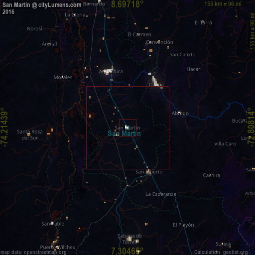
99.07%Clear (daylight) street map image can be seen on geolist.org.
Map coordinates:
8° 41' 49.8" North, 74° 12' 51.8" West
8° 0' 5.4" North, 73° 30' 40.5" West
7° 18' 16.7" North, 72° 48' 29.3" West
Some cities around San Martín sort by population:
• Ocaña
31.3 km =19.4 mi,  33°
33°
• Aguachica
36 km =22.4 mi,  341°
341°
• Ábrego
33.2 km =20.6 mi,  74°
74°
• San Alberto
29.8 km =18.5 mi,  153°
153°
• Gamarra
43.9 km =27.3 mi,  324°
324°
• Simití
47.9 km =29.8 mi,  264°
264°
• Río de Oro
35.2 km =21.9 mi,  23°
23°
• González
45.5 km =28.3 mi, 18°
3792385 (p: 7,029)
Sources (retrieved 2019-11-25):
» Earth at Night: Flat Maps 2012, 2016