Sardinata night lights from space
Night Light of Sardinata (Norte de Santander) from space (Colombia) Src. Average luminocity for 10x10km area is 1.4938% and for 50x50km: 0.7302%.
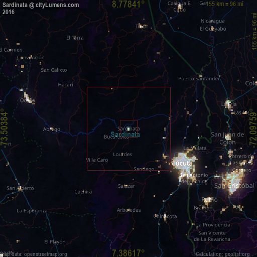
Analysis of Sardinata night lights 2016
Square area 10x10 km:
 0.41%
0.41%90-99
0.41%80-89
0%70-79
0%60-69
0.83%50-59
0%40-49
0%30-39
0%20-29
0%10-19
0%0-9
98.35%Square area 50x50 km:
0.02%90-99
0.05%80-89
0.03%70-79
0.09%60-69
0.16%50-59
0.07%40-49
0.1%30-39
0.27%20-29
0.17%10-19
0.85%0-9
98.19%Clear (daylight) street map image can be seen on geolist.org.
Map coordinates:
8° 46' 42.3" North, 73° 30' 13.8" West
8° 4' 58.4" North, 72° 48' 2.6" West
7° 23' 10.2" North, 72° 5' 51.3" West
Some cities around Sardinata sort by population:
• Cúcuta
38.5 km =23.9 mi,  123°
123°
• Villa del Rosario
45.4 km =28.2 mi,  127°
127°
• Los Patios
42.6 km =26.5 mi, 129°
• San Antonio del Táchira, VE
49.4 km =30.7 mi, 127°
• Puerto Santander
53.5 km =33.2 mi,  54°
54°
• El Zulia
27.6 km =17.1 mi, 127°
• Ábrego
46.2 km =28.7 mi,  269°
269°
• Chinácota
57.3 km =35.6 mi,  157°
157°
3668245 (p: 7,872)
Sources (retrieved 2019-11-25):
» Earth at Night: Flat Maps 2012, 2016