González night lights from space
Night Light of González (Cesar) from space (Colombia) Src. Average luminocity for 10x10km area is 3.6798% and for 50x50km: 1.5798%.
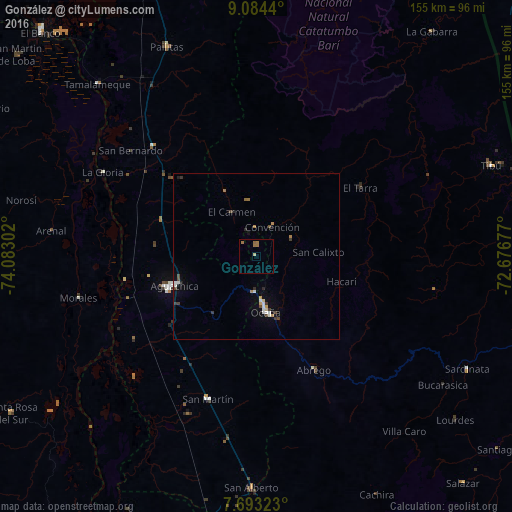
Analysis of González night lights 2016
Square area 10x10 km:
 0%
0%90-99
0%80-89
0.83%70-79
0%60-69
3.51%50-59
0.62%40-49
0%30-39
0%20-29
0%10-19
0%0-9
95.04%Square area 50x50 km:
0.2%90-99
0.24%80-89
0.1%70-79
0.15%60-69
0.35%50-59
0.07%40-49
0.28%30-39
0.31%20-29
0.18%10-19
0.29%0-9
97.85%Clear (daylight) street map image can be seen on geolist.org.
Map coordinates:
9° 5' 3.8" North, 74° 4' 58.9" West
8° 23' 22" North, 73° 22' 47.6" West
7° 41' 35.6" North, 72° 40' 36.4" West
Some cities around González sort by population:
• Ocaña
17.1 km =10.6 mi,  171°
171°
• Aguachica
27.6 km =17.1 mi,  250°
250°
• Pelaya
45.6 km =28.3 mi,  316°
316°
• Ábrego
38.6 km =24 mi,  152°
152°
• Gamarra
40.6 km =25.2 mi,  259°
259°
• San Martín
45.5 km =28.3 mi,  198°
198°
• Río de Oro
10.9 km =6.8 mi,  182°
182°
• El Carmen
15.4 km =9.6 mi,  331°
331°
3681990 (p: 5,634)
Sources (retrieved 2019-11-25):
» Earth at Night: Flat Maps 2012, 2016