San Alberto night lights from space
Night Light of San Alberto (Cesar) from space (Colombia) Src. Average luminocity for 10x10km area is 3.907% and for 50x50km: 0.3868%.
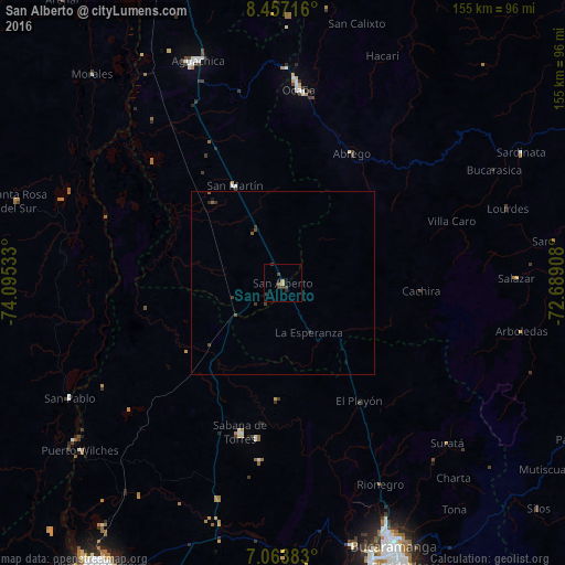
Analysis of San Alberto night lights 2016
Square area 10x10 km:
 0%
0%90-99
0%80-89
0%70-79
0.62%60-69
1.03%50-59
0%40-49
2.07%30-39
2.89%20-29
1.24%10-19
0%0-9
92.15%Square area 50x50 km:
0%90-99
0%80-89
0%70-79
0.03%60-69
0.06%50-59
0.14%40-49
0.12%30-39
0.31%20-29
0.12%10-19
0.07%0-9
99.16%Clear (daylight) street map image can be seen on geolist.org.
Map coordinates:
8° 27' 25.8" North, 74° 5' 43.2" West
7° 45' 39.9" North, 73° 23' 31.9" West
7° 3' 49.8" North, 72° 41' 20.7" West
Some cities around San Alberto sort by population:
• Ocaña
53.1 km =33 mi,  4°
4°
• Aguachica
65.7 km =40.8 mi,  337°
337°
• Sabana de Torres
42.6 km =26.5 mi,  195°
195°
• Ábrego
40.2 km =25 mi,  28°
28°
• San Martín
29.8 km =18.5 mi,  333°
333°
• Simití
64.6 km =40.1 mi,  289°
289°
• Río de Oro
59 km =36.7 mi, 0°
• El Playón
38.4 km =23.9 mi,  147°
147°
3670242 (p: 10,627)
Sources (retrieved 2019-11-25):
» Earth at Night: Flat Maps 2012, 2016