Río de Oro night lights from space
Night Light of Río de Oro (Cesar) from space (Colombia) Src. Average luminocity for 10x10km area is 9.7087% and for 50x50km: 1.6338%.
Analysis of Río de Oro night lights 2016
Square area 10x10 km:
 1.86%
1.86%90-99
1.45%80-89
0.83%70-79
2.48%60-69
0.83%50-59
0%40-49
0.83%30-39
0.83%20-29
1.65%10-19
1.65%0-9
87.6%Square area 50x50 km:
0.23%90-99
0.24%80-89
0.13%70-79
0.15%60-69
0.29%50-59
0.04%40-49
0.35%30-39
0.35%20-29
0.19%10-19
0.29%0-9
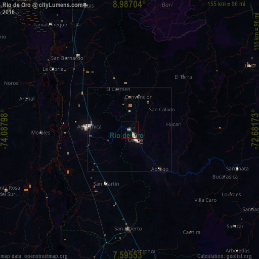
97.74%Clear (daylight) street map image can be seen on geolist.org.
Map coordinates:
8° 59' 13.3" North, 74° 5' 16.7" West
8° 17' 30.8" North, 73° 23' 5.5" West
7° 35' 43.9" North, 72° 40' 54.2" West
Some cities around Río de Oro sort by population:
• Ocaña
6.8 km =4.2 mi,  152°
152°
• Aguachica
25.6 km =15.9 mi,  274°
274°
• Morales
53.3 km =33.1 mi, 268°
• Ábrego
29.6 km =18.4 mi,  142°
142°
• Gamarra
39.5 km =24.5 mi, 274°
• San Martín
35.2 km =21.9 mi,  203°
203°
• González
10.9 km =6.8 mi,  2°
2°
• El Carmen
25.3 km =15.7 mi,  344°
344°
3670756 (p: 6,122)
Sources (retrieved 2019-11-25):
» Earth at Night: Flat Maps 2012, 2016