El Carmen night lights from space
Night Light of El Carmen (Norte de Santander) from space (Colombia) Src. Average luminocity for 10x10km area is 1.4298% and for 50x50km: 1.4829%.
Analysis of El Carmen night lights 2016
Square area 10x10 km:
 0%
0%90-99
0%80-89
0%70-79
0%60-69
0.83%50-59
0.41%40-49
0.83%30-39
0%20-29
0.83%10-19
0%0-9
97.11%Square area 50x50 km:
0.25%90-99
0.22%80-89
0.05%70-79
0.07%60-69
0.43%50-59
0.15%40-49
0.32%30-39
0.18%20-29
0.2%10-19
0.33%0-9
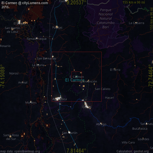
97.8%Clear (daylight) street map image can be seen on geolist.org.
Map coordinates:
9° 12' 19.3" North, 74° 9' 3.2" West
8° 30' 38.3" North, 73° 26' 51.9" West
7° 48' 52.7" North, 72° 44' 40.7" West
Some cities around El Carmen sort by population:
• Ocaña
32 km =19.9 mi,  161°
161°
• Aguachica
29.2 km =18.1 mi,  219°
219°
• Pelaya
30.9 km =19.2 mi,  309°
309°
• Gamarra
38.6 km =24 mi,  237°
237°
• Río Viejo
43.9 km =27.3 mi,  281°
281°
• La Gloria
40.8 km =25.4 mi,  287°
287°
• Río de Oro
25.3 km =15.7 mi, 164°
• González
15.4 km =9.6 mi,  151°
151°
3684683 (p: 5,286)
Sources (retrieved 2019-11-25):
» Earth at Night: Flat Maps 2012, 2016