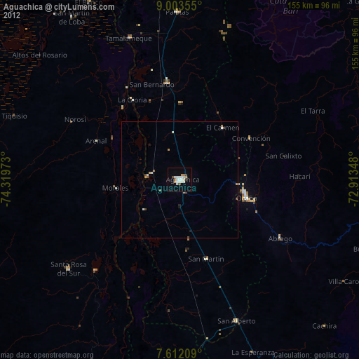
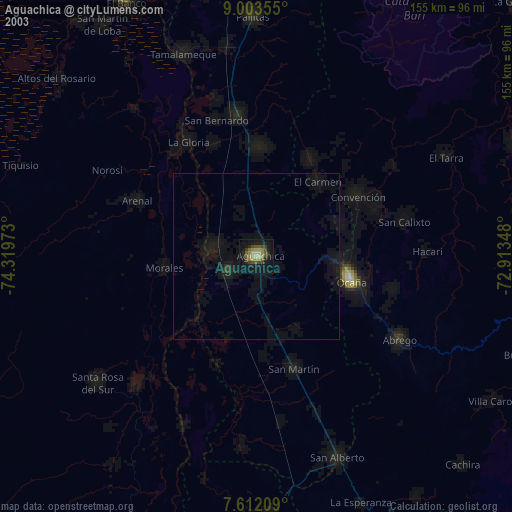
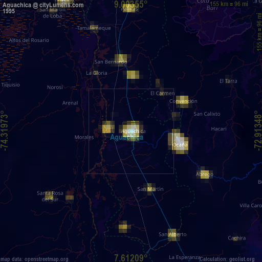
Aguachica night lights from space
Night Light of Aguachica (Cesar) from space (Colombia) Src. Average luminocity for 10x10km area is 17.8574% and for 50x50km: 1.2148%.

Analysis of Aguachica night lights 2016
Square area 10x10 km:
 5.37%
5.37%90-99
4.55%80-89
0%70-79
0.41%60-69
0.41%50-59
0.21%40-49
4.55%30-39
1.86%20-29
0.41%10-19
5.37%0-9
76.86%Square area 50x50 km:
0.22%90-99
0.19%80-89
0.06%70-79
0.03%60-69
0.22%50-59
0.04%40-49
0.27%30-39
0.22%20-29
0.23%10-19
0.25%0-9
98.28%Clear (daylight) street map image can be seen on geolist.org.
Map coordinates:
9° 0' 12.8" North, 74° 19' 11" West
8° 18' 30.4" North, 73° 36' 59.8" West
7° 36' 43.5" North, 72° 54' 48.5" West
Some cities around Aguachica sort by population:
• Ocaña
29.7 km =18.5 mi,  105°
105°
• Morales
28 km =17.4 mi,  262°
262°
• Gamarra
14 km =8.7 mi,  276°
276°
• San Martín
36 km =22.4 mi,  161°
161°
• Río Viejo
39.5 km =24.5 mi,  321°
321°
• Río de Oro
25.6 km =15.9 mi,  94°
94°
• González
27.6 km =17.1 mi,  70°
70°
• El Carmen
29.2 km =18.1 mi,  39°
39°
3690465 (p: 73,360)
Sources (retrieved 2019-11-25):
» NASA, Earths city lights 1995
» NASA city lights 2003
» Earth at Night: Flat Maps 2012, 2016