Yinchuan night lights from space
Night Light of Yinchuan (Ningxia Hui Autonomous Region) from space (China) Src. Average luminocity for 10x10km area is 95.7922% and for 50x50km: 28.161%.
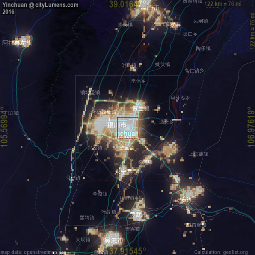
Analysis of Yinchuan night lights 2016
Square area 10x10 km:
 54.22%
90-99
30.36%80-89
4.87%70-79
8.77%60-69
1.79%50-59
0%40-49
0%30-39
0%20-29
0%10-19
0%0-9
0%Square area 50x50 km:
4.97%90-99
4.57%80-89
4.34%70-79
4.66%60-69
3.42%50-59
3.02%40-49
3.84%30-39
4.23%20-29
7.08%10-19
13.63%0-9
46.24%Clear (daylight) street map image can be seen on geolist.org.
Map coordinates:
39° 0' 59.3" North, 105° 34' 11.8" East
38° 28' 5" North, 106° 16' 23" East
37° 54' 55.6" North, 106° 58' 34.3" East
Some cities around Yinchuan sort by population:
• Bayan Nur
270.2 km =167.9 mi,  20°
20°
• Wuhai
143.1 km =88.9 mi, 19°
• Baiyin
282.9 km =175.8 mi,  220°
220°
• Shizuishan
95.3 km =59.2 mi,  26°
26°
• Dawukou
64.7 km =40.2 mi,  9°
9°
• Wuda
120.8 km =75.1 mi, 18°
• Yulinshi
302.6 km =188 mi,  93°
93°
• Shitanjing
85.4 km =53.1 mi,  4°
4°
1786657 (p: 475,101)
Sources (retrieved 2019-11-25):
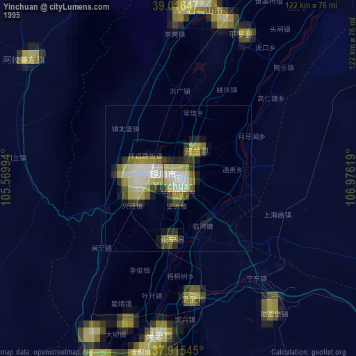
» NASA, Earths city lights 1995
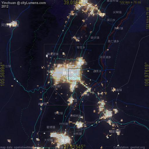
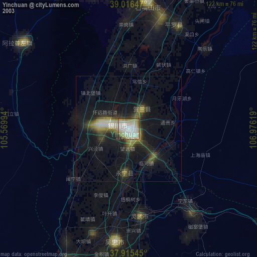
» NASA city lights 2003
» Earth at Night: Flat Maps 2012, 2016