Yulinshi night lights from space
Night Light of Yulinshi (Shaanxi) from space (China) Src. Average luminocity for 10x10km area is 75.7313% and for 50x50km: 9.6586%.
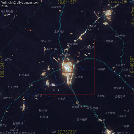
Analysis of Yulinshi night lights 2016
Square area 10x10 km:
 18.54%
90-99
17.86%80-89
12.76%70-79
20.92%60-69
4.08%50-59
7.65%40-49
7.65%30-39
5.78%20-29
4.59%10-19
0.17%0-9
0%Square area 50x50 km:
0.8%90-99
1.75%80-89
1.59%70-79
1.95%60-69
0.62%50-59
1.05%40-49
1.54%30-39
1.66%20-29
2.13%10-19
4.71%0-9
82.22%Clear (daylight) street map image can be seen on geolist.org.
Map coordinates:
38° 50' 29.7" North, 109° 2' 3.9" East
38° 17' 30.5" North, 109° 44' 15.1" East
37° 44' 16.3" North, 110° 26' 26.4" East
Some cities around Yulinshi sort by population:
• Taiyuan
251.5 km =156.3 mi,  100°
100°
• Ordos
146.5 km =91 mi,  1°
1°
• Baotou
262.6 km =163.2 mi, 1°
• Xinzhou
261.5 km =162.5 mi,  87°
87°
• Dongsheng
170.7 km =106.1 mi,  6°
6°
• Jiexiu
237.7 km =147.7 mi,  126°
126°
• Salaqi
258.8 km =160.8 mi, 14°
• Gutao
246.4 km =153.1 mi,  119°
119°
1785777 (p: 90,870)
Sources (retrieved 2019-11-25):
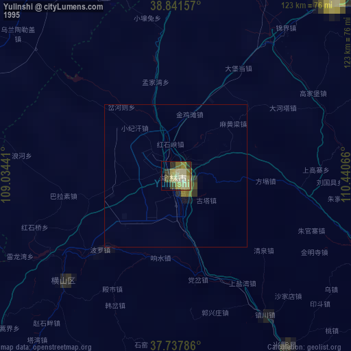
» NASA, Earths city lights 1995
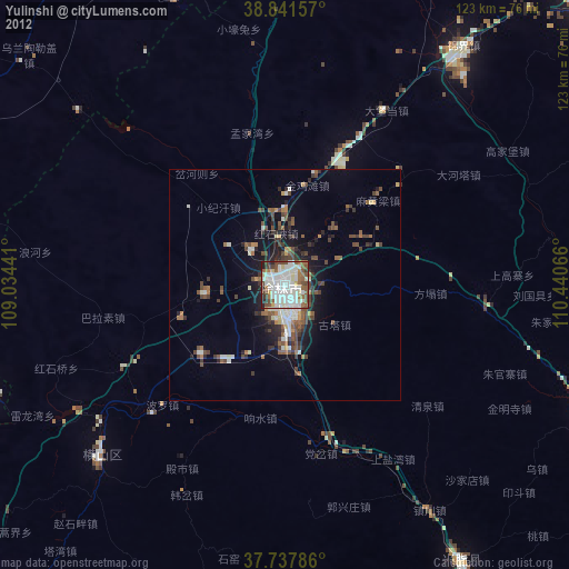
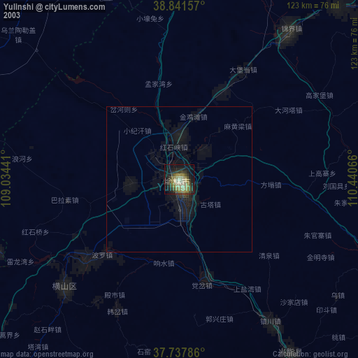
» NASA city lights 2003
» Earth at Night: Flat Maps 2012, 2016