Yatou night lights from space
Night Light of Yatou (Shandong) from space (China) Src. Average luminocity for 10x10km area is 41.2398% and for 50x50km: 5.8307%.
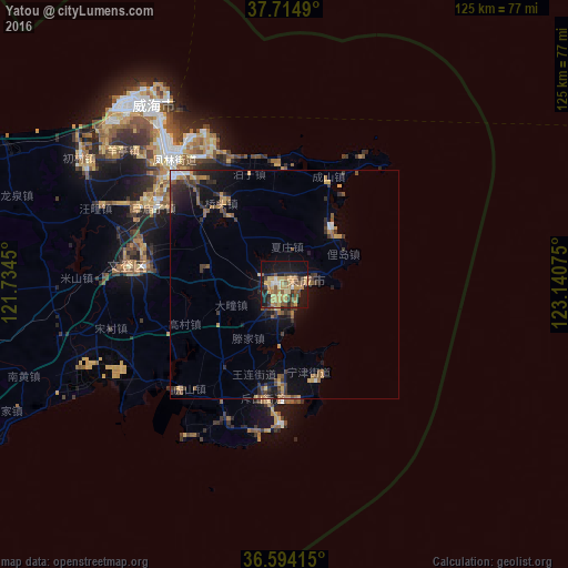
Analysis of Yatou night lights 2016
Square area 10x10 km:
 1.53%
1.53%90-99
2.21%80-89
9.18%70-79
11.9%60-69
8.5%50-59
9.18%40-49
3.57%30-39
7.48%20-29
6.63%10-19
32.99%0-9
6.8%Square area 50x50 km:
0.22%90-99
0.29%80-89
0.68%70-79
1.02%60-69
0.98%50-59
1.29%40-49
0.81%30-39
1.77%20-29
1.35%10-19
4.34%0-9
87.26%Clear (daylight) street map image can be seen on geolist.org.
Map coordinates:
37° 42' 53.6" North, 121° 44' 4.2" East
37° 9' 23.8" North, 122° 26' 15.4" East
36° 35' 38.9" North, 123° 8' 26.7" East
Some cities around Yatou sort by population:
• Yantai
95.1 km =59.1 mi,  291°
291°
• Laiyang
154.3 km =95.9 mi,  262°
262°
• Weihai
48.6 km =30.2 mi,  323°
323°
• Tianfu
36.1 km =22.4 mi, 289°
• Dongcun
121.1 km =75.2 mi,  249°
249°
• Zhuangyuan
143.5 km =89.2 mi,  276°
276°
• Qingyang
110.9 km =68.9 mi, 289°
• Ninghai
77.6 km =48.2 mi, 289°
1786855 (p: 91,517)
Sources (retrieved 2019-11-25):
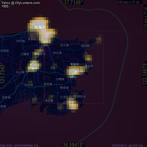
» NASA, Earths city lights 1995
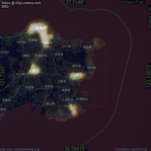
» NASA city lights 2003
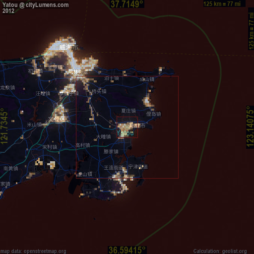
» Earth at Night: Flat Maps 2012, 2016