Ninghai night lights from space
Night Light of Ninghai (Shandong) from space (China) Src. Average luminocity for 10x10km area is 57.4594% and for 50x50km: 15.4004%.
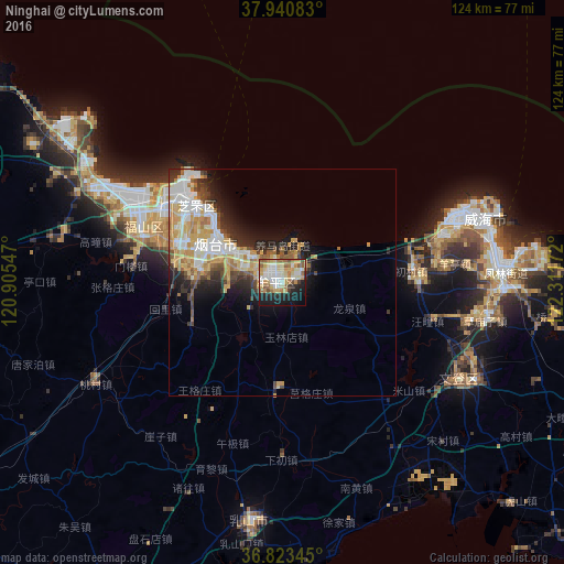
Analysis of Ninghai night lights 2016
Square area 10x10 km:
 9.74%
9.74%90-99
12.66%80-89
12.66%70-79
10.39%60-69
9.58%50-59
5.68%40-49
2.6%30-39
2.92%20-29
10.71%10-19
18.99%0-9
4.06%Square area 50x50 km:
2.87%90-99
3.12%80-89
2.76%70-79
2.83%60-69
1.8%50-59
1.42%40-49
1.38%30-39
1.62%20-29
3.51%10-19
5.19%0-9
73.5%Clear (daylight) street map image can be seen on geolist.org.
Map coordinates:
37° 56' 27" North, 120° 54' 19.7" East
37° 23' 3.2" North, 121° 36' 30.9" East
36° 49' 24.4" North, 122° 18' 42.2" East
Some cities around Ninghai sort by population:
• Yantai
18 km =11.2 mi,  304°
304°
• Weihai
46.7 km =29 mi,  72°
72°
• Tianfu
41.5 km =25.8 mi,  108°
108°
• Dongcun
78.4 km =48.7 mi,  210°
210°
• Yatou
77.6 km =48.2 mi, 109°
• Dengzhou
88.5 km =55 mi, 302°
• Zhuangyuan
69.6 km =43.2 mi,  262°
262°
• Qingyang
33.3 km =20.7 mi,  291°
291°
1799383 (p: 56,937)
Sources (retrieved 2019-11-25):
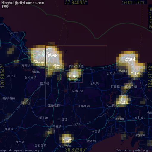
» NASA, Earths city lights 1995
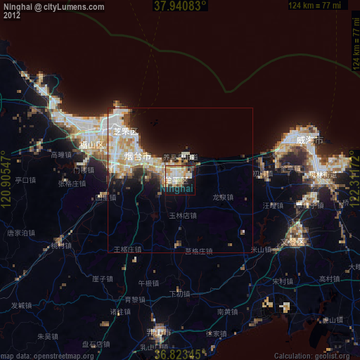
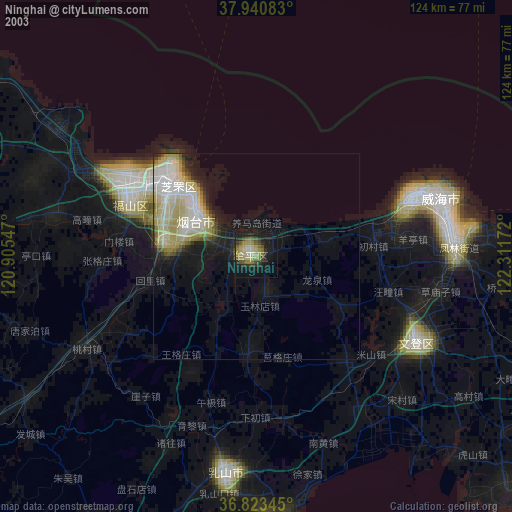
» NASA city lights 2003
» Earth at Night: Flat Maps 2012, 2016