Dongcun night lights from space
Night Light of Dongcun (Shandong) from space (China) Src. Average luminocity for 10x10km area is 21.4161% and for 50x50km: 2.097%.
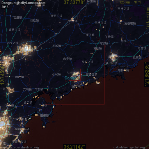

Analysis of Dongcun night lights 2016
Square area 10x10 km:
 0%
0%90-99
0%80-89
2.1%70-79
4.2%60-69
6.29%50-59
5.77%40-49
3.5%30-39
8.22%20-29
5.59%10-19
12.59%0-9
51.75%Square area 50x50 km:
0.04%90-99
0.04%80-89
0.32%70-79
0.29%60-69
0.48%50-59
0.39%40-49
0.37%30-39
0.71%20-29
0.44%10-19
0.75%0-9
96.17%Clear (daylight) street map image can be seen on geolist.org.
Map coordinates:
37° 20' 16" North, 120° 27' 23.8" East
36° 46' 36" North, 121° 9' 35" East
36° 12' 41.1" North, 121° 51' 46.3" East
Some cities around Dongcun sort by population:
• Yantai
81.7 km =50.8 mi,  17°
17°
• Laiyang
45.4 km =28.2 mi,  299°
299°
• Zhaoyuan
93.3 km =58 mi,  314°
314°
• Zhuangyuan
65.8 km =40.9 mi,  333°
333°
• Laixi
57.1 km =35.5 mi,  279°
279°
• Jimo
75.7 km =47 mi,  235°
235°
• Qingyang
80.4 km =50 mi,  6°
6°
• Ninghai
78.4 km =48.7 mi,  30°
30°
1812621 (p: 92,282)
Sources (retrieved 2019-11-25):
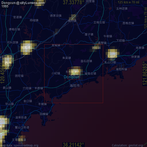
» NASA, Earths city lights 1995
» NASA city lights 2003
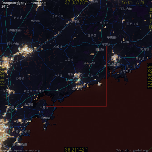
» Earth at Night: Flat Maps 2012, 2016