Yantai night lights from space
Night Light of Yantai (Shandong) from space (China) Src. Average luminocity for 10x10km area is 74.3084% and for 50x50km: 22.9165%.
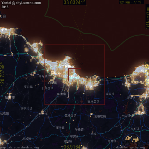
Analysis of Yantai night lights 2016
Square area 10x10 km:
 22.89%
90-99
22.73%80-89
9.25%70-79
13.8%60-69
6.01%50-59
2.27%40-49
3.57%30-39
5.03%20-29
8.28%10-19
5.19%0-9
0.97%Square area 50x50 km:
4.58%90-99
4.47%80-89
3.81%70-79
4.15%60-69
2.76%50-59
1.95%40-49
1.93%30-39
2.62%20-29
5.53%10-19
8.48%0-9
59.72%Clear (daylight) street map image can be seen on geolist.org.
Map coordinates:
38° 1' 56.7" North, 120° 44' 15.7" East
37° 28' 35.4" North, 121° 26' 26.9" East
36° 54' 59.1" North, 122° 8' 38.2" East
Some cities around Yantai sort by population:
• Laiyang
85.1 km =52.9 mi,  229°
229°
• Weihai
59.5 km =37 mi,  86°
86°
• Tianfu
59 km =36.7 mi,  113°
113°
• Dongcun
81.7 km =50.8 mi,  197°
197°
• Dengzhou
70.4 km =43.7 mi,  301°
301°
• Zhuangyuan
57.4 km =35.7 mi,  250°
250°
• Qingyang
16.3 km =10.1 mi,  277°
277°
• Ninghai
18 km =11.2 mi,  124°
124°
1787093 (p: 719,332)
Sources (retrieved 2019-11-25):
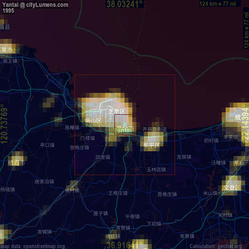
» NASA, Earths city lights 1995
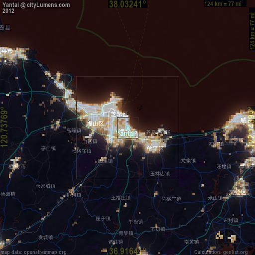
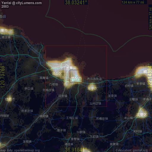
» NASA city lights 2003
» Earth at Night: Flat Maps 2012, 2016