Xilin Hot night lights from space
Night Light of Xilin Hot (Inner Mongolia) from space (China) Src. Average luminocity for 10x10km area is 40.3016% and for 50x50km: 3.6753%.
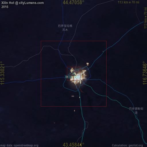
Analysis of Xilin Hot night lights 2016
Square area 10x10 km:
 10.32%
90-99
9.68%80-89
2.7%70-79
3.97%60-69
5.4%50-59
2.22%40-49
3.81%30-39
5.24%20-29
12.86%10-19
22.22%0-9
21.59%Square area 50x50 km:
0.57%90-99
0.75%80-89
0.37%70-79
0.39%60-69
0.42%50-59
0.36%40-49
0.49%30-39
0.53%20-29
1.03%10-19
2.8%0-9
92.29%Clear (daylight) street map image can be seen on geolist.org.
Map coordinates:
44° 28' 14.1" North, 115° 19' 48.8" East
43° 58' 0" North, 116° 1' 60" East
43° 27' 30.4" North, 116° 44' 11.3" East
Some cities around Xilin Hot sort by population:
• Zhangjiakou
363.5 km =225.9 mi,  195°
195°
• Chengde
370.5 km =230.2 mi,  154°
154°
• Zhangjiakou Shi Xuanhua Qu
381.9 km =237.3 mi,  192°
192°
• Chifeng
303.6 km =188.6 mi,  128°
128°
• Pingzhuang
340.7 km =211.7 mi, 129°
• Mujiayingzi
303.7 km =188.7 mi, 132°
• Erenhot
327.4 km =203.4 mi,  263°
263°
• Baruun-Urt, MN
370.6 km =230.3 mi,  324°
324°
2033824 (p: 120,965)
Sources (retrieved 2019-11-25):
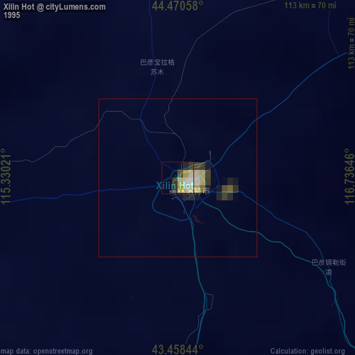
» NASA, Earths city lights 1995
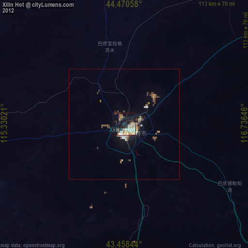
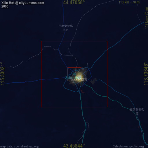
» NASA city lights 2003
» Earth at Night: Flat Maps 2012, 2016