Chengde night lights from space
Night Light of Chengde (Hebei) from space (China) Src. Average luminocity for 10x10km area is 36.9303% and for 50x50km: 7.0683%.
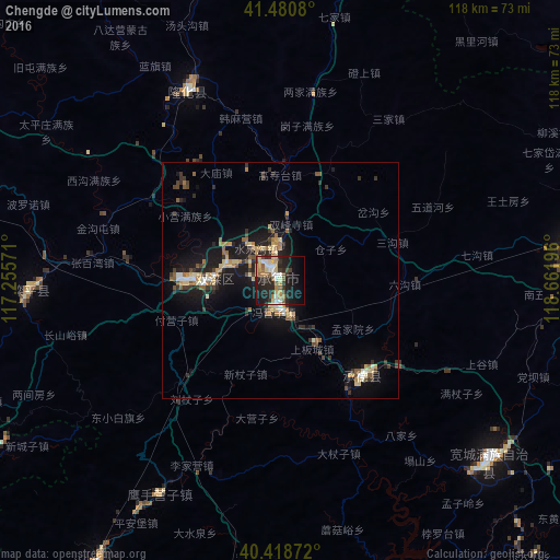
Analysis of Chengde night lights 2016
Square area 10x10 km:
 5.44%
5.44%90-99
4.42%80-89
6.97%70-79
4.42%60-69
4.59%50-59
5.95%40-49
1.87%30-39
6.63%20-29
17.35%10-19
24.15%0-9
18.2%Square area 50x50 km:
0.49%90-99
0.64%80-89
1.32%70-79
0.71%60-69
1.04%50-59
1.17%40-49
0.62%30-39
1.63%20-29
2.01%10-19
6.74%0-9
83.63%Clear (daylight) street map image can be seen on geolist.org.
Map coordinates:
41° 28' 50.9" North, 117° 15' 20.6" East
40° 57' 6.8" North, 117° 57' 31.8" East
40° 25' 7.4" North, 118° 39' 43.1" East
Some cities around Chengde sort by population:
• Linxi
144 km =89.5 mi,  163°
163°
• Lingyuan
125 km =77.7 mi,  75°
75°
• Zhaogezhuang
137.4 km =85.4 mi, 163°
• Tangjiazhuang
140.7 km =87.4 mi, 162°
• Fengrun
125.1 km =77.7 mi,  173°
173°
• Songling
77.8 km =48.3 mi, 160°
• Guye
141.8 km =88.1 mi, 163°
• Bangjun
122 km =75.8 mi,  208°
208°
2038087 (p: 449,325)
Sources (retrieved 2019-11-25):
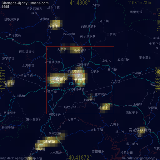
» NASA, Earths city lights 1995
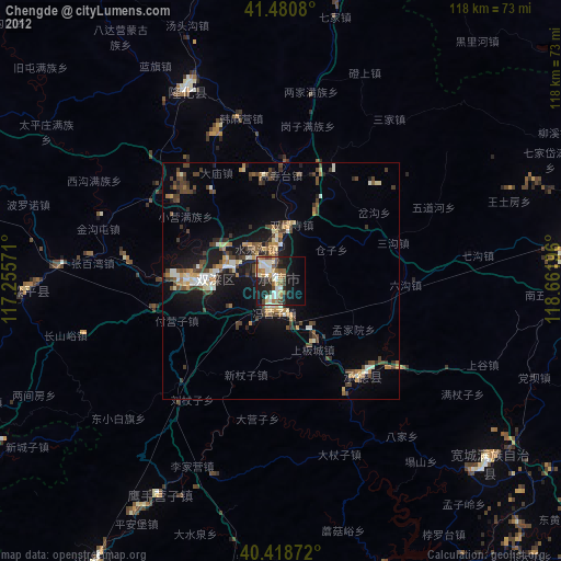
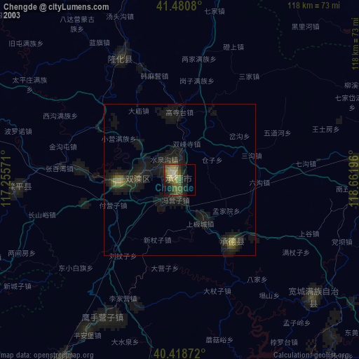
» NASA city lights 2003
» Earth at Night: Flat Maps 2012, 2016