Pingzhuang night lights from space
Night Light of Pingzhuang (Inner Mongolia) from space (China) Src. Average luminocity for 10x10km area is 25.1794% and for 50x50km: 1.97%.
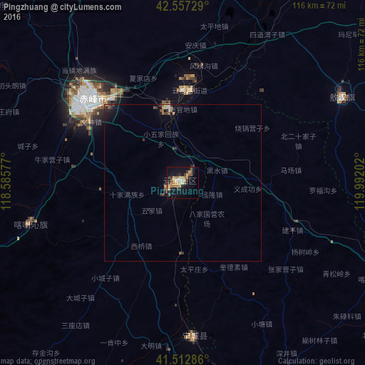


Analysis of Pingzhuang night lights 2016
Square area 10x10 km:
 1.11%
1.11%90-99
2.22%80-89
6.03%70-79
5.4%60-69
3.17%50-59
4.92%40-49
2.38%30-39
3.81%20-29
3.02%10-19
25.71%0-9
42.22%Square area 50x50 km:
0.08%90-99
0.14%80-89
0.36%70-79
0.24%60-69
0.27%50-59
0.38%40-49
0.26%30-39
0.36%20-29
0.37%10-19
1.67%0-9
95.88%Clear (daylight) street map image can be seen on geolist.org.
Map coordinates:
42° 33' 26.2" North, 118° 35' 8.8" East
42° 2' 14" North, 119° 17' 20" East
41° 30' 46.3" North, 119° 59' 31.3" East
Some cities around Pingzhuang sort by population:
• Chengde
163.8 km =101.8 mi,  222°
222°
• Chaoyang
110 km =68.4 mi,  118°
118°
• Chifeng
37.1 km =23.1 mi,  313°
313°
• Nanpiao
160.1 km =99.5 mi,  130°
130°
• Beipiao
126.3 km =78.5 mi,  102°
102°
• Lingyuan
89.1 km =55.4 mi,  173°
173°
• Yebaishou
76.9 km =47.8 mi,  157°
157°
• Mujiayingzi
42.6 km =26.5 mi,  281°
281°
2035453 (p: 67,273)
Sources (retrieved 2019-11-25):
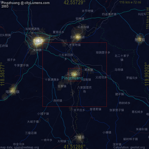
» NASA, Earths city lights 1995
» NASA city lights 2003
» Earth at Night: Flat Maps 2012, 2016