Erenhot night lights from space
Night Light of Erenhot (Inner Mongolia) from space (China) Src. Average luminocity for 10x10km area is 26.4652% and for 50x50km: 1.3833%.
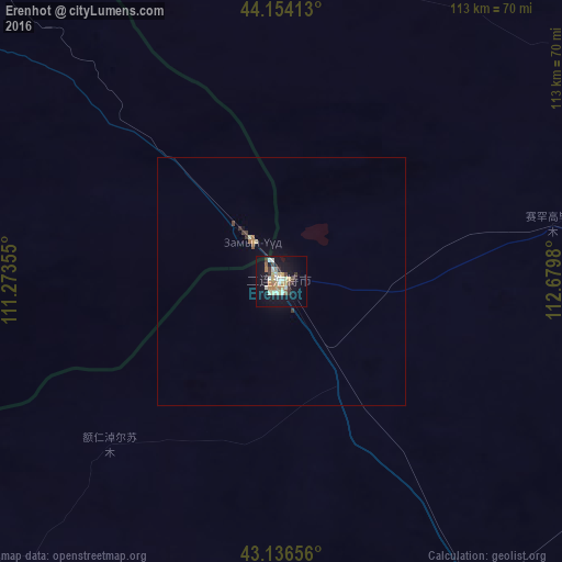
Analysis of Erenhot night lights 2016
Square area 10x10 km:
 1.36%
1.36%90-99
6.67%80-89
4.09%70-79
3.33%60-69
5.15%50-59
1.21%40-49
3.03%30-39
3.03%20-29
1.36%10-19
30.3%0-9
40.45%Square area 50x50 km:
0.06%90-99
0.27%80-89
0.22%70-79
0.15%60-69
0.26%50-59
0.09%40-49
0.17%30-39
0.22%20-29
0.07%10-19
1.3%0-9
97.21%Clear (daylight) street map image can be seen on geolist.org.
Map coordinates:
44° 9' 14.9" North, 111° 16' 24.8" East
43° 38' 51" North, 111° 58' 36" East
43° 8' 11.6" North, 112° 40' 47.3" East
Some cities around Erenhot sort by population:
• Hohhot
316.6 km =196.7 mi,  184°
184°
• Jining
305.7 km =190 mi,  162°
162°
• Xilin Hot
327.4 km =203.4 mi,  83°
83°
• Beichengqu
369.7 km =229.7 mi, 164°
• Shiguai
355.5 km =220.9 mi,  203°
203°
• Salaqi
365.9 km =227.4 mi, 199°
• Saynshand, MN
202 km =125.5 mi,  312°
312°
• Baruun-Urt, MN
352.4 km =219 mi,  16°
16°
2037485 (p: 16,427)
Sources (retrieved 2019-11-25):
» Earth at Night: Flat Maps 2012, 2016