Zhangjiakou Shi Xuanhua Qu night lights from space
Night Light of Zhangjiakou Shi Xuanhua Qu (Hebei) from space (China) Src. Average luminocity for 10x10km area is 53.7841% and for 50x50km: 11.1133%.
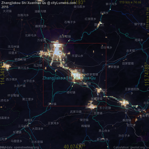

Analysis of Zhangjiakou Shi Xuanhua Qu night lights 2016
Square area 10x10 km:
 10.23%
90-99
12.82%80-89
9.9%70-79
7.31%60-69
4.55%50-59
5.68%40-49
5.52%30-39
4.06%20-29
18.51%10-19
19.97%0-9
1.46%Square area 50x50 km:
1.36%90-99
1.92%80-89
1.49%70-79
1.18%60-69
1.1%50-59
1.69%40-49
1.84%30-39
1.99%20-29
3.35%10-19
7.84%0-9
76.26%Clear (daylight) street map image can be seen on geolist.org.
Map coordinates:
41° 8' 30.9" North, 114° 20' 29.8" East
40° 36' 37" North, 115° 2' 41" East
40° 4' 27.7" North, 115° 44' 52.3" East
Some cities around Zhangjiakou Shi Xuanhua Qu sort by population:
• Beijing
138.8 km =86.2 mi,  124°
124°
• Mentougou
116.2 km =72.2 mi,  130°
130°
• Tongzhou
158.1 km =98.2 mi, 119°
• Shunyi
146.3 km =90.9 mi,  111°
111°
• Daxing
145.7 km =90.5 mi, 131°
• Fangshan
130.7 km =81.2 mi,  141°
141°
• Changping
109.9 km =68.3 mi, 113°
• Liangxiang
134.2 km =83.4 mi, 136°
2033574 (p: 373,422)
Sources (retrieved 2019-11-25):
» NASA, Earths city lights 1995
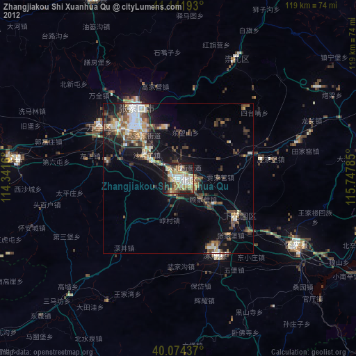
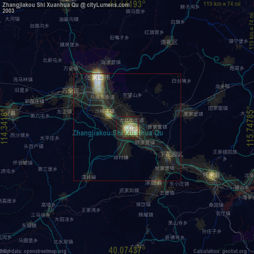
» NASA city lights 2003
» Earth at Night: Flat Maps 2012, 2016