Mujiayingzi night lights from space
Night Light of Mujiayingzi (Inner Mongolia) from space (China) Src. Average luminocity for 10x10km area is 0.4045% and for 50x50km: 6.3932%.
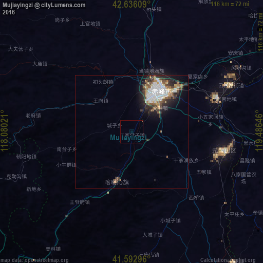
Analysis of Mujiayingzi night lights 2016
Square area 10x10 km:
 0%
0%90-99
0%80-89
0%70-79
0%60-69
0.61%50-59
0%40-49
0%30-39
0%20-29
0%10-19
0%0-9
99.39%Square area 50x50 km:
1.57%90-99
1.15%80-89
0.62%70-79
0.49%60-69
0.96%50-59
0.75%40-49
0.75%30-39
1.1%20-29
1.72%10-19
2.95%0-9
87.94%Clear (daylight) street map image can be seen on geolist.org.
Map coordinates:
42° 38' 9.9" North, 118° 4' 48.8" East
42° 7' 0" North, 118° 46' 60" East
41° 35' 34.7" North, 119° 29' 11.3" East
Some cities around Mujiayingzi sort by population:
• Chengde
146.6 km =91.1 mi,  207°
207°
• Chaoyang
151.5 km =94.1 mi,  113°
113°
• Chifeng
22.5 km =14 mi,  41°
41°
• Nanpiao
198.7 km =123.5 mi,  124°
124°
• Beipiao
168.9 km =104.9 mi,  102°
102°
• Lingyuan
110.2 km =68.5 mi,  152°
152°
• Pingzhuang
42.6 km =26.5 mi, 101°
• Yebaishou
107 km =66.5 mi,  138°
138°
2035707 (p: 60,627)
Sources (retrieved 2019-11-25):
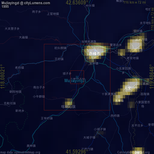
» NASA, Earths city lights 1995
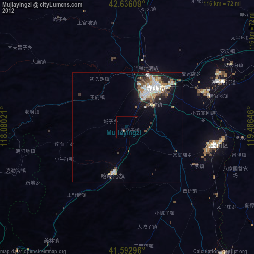
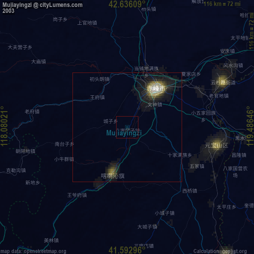
» NASA city lights 2003
» Earth at Night: Flat Maps 2012, 2016