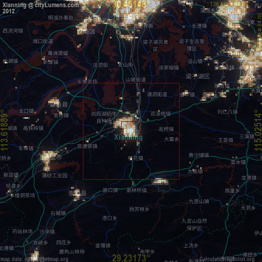
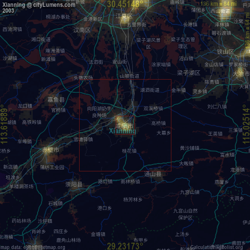
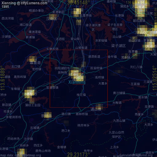
Xianning night lights from space
Night Light of Xianning (Hubei) from space (China) Src. Average luminocity for 10x10km area is 50.5278% and for 50x50km: 3.571%.
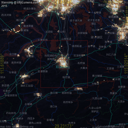
Analysis of Xianning night lights 2016
Square area 10x10 km:
 6.35%
6.35%90-99
12.3%80-89
5.95%70-79
11.71%60-69
6.75%50-59
8.73%40-49
3.37%30-39
3.17%20-29
13.1%10-19
25%0-9
3.57%Square area 50x50 km:
0.27%90-99
0.55%80-89
0.38%70-79
0.62%60-69
0.49%50-59
0.69%40-49
0.5%30-39
0.38%20-29
0.98%10-19
2.91%0-9
92.23%Clear (daylight) street map image can be seen on geolist.org.
Map coordinates:
30° 27' 5.3" North, 113° 37' 8" East
29° 50' 36.5" North, 114° 19' 19.2" East
29° 13' 54.2" North, 115° 1' 30.5" East
Some cities around Xianning sort by population:
• Wuhan
82.4 km =51.2 mi,  356°
356°
• Huangshi
83.1 km =51.6 mi,  57°
57°
• Ezhou
79 km =49.1 mi,  38°
38°
• Xindi
82.6 km =51.3 mi,  267°
267°
• Puqi
44.6 km =27.7 mi,  251°
251°
• Huangzhou
81.6 km =50.7 mi,  34°
34°
• Caidian
86.8 km =53.9 mi,  341°
341°
• Daye
66.1 km =41.1 mi,  66°
66°
1790396 (p: 179,494)
Sources (retrieved 2019-11-25):
» NASA, Earths city lights 1995
» NASA city lights 2003
» Earth at Night: Flat Maps 2012, 2016