Wusong night lights from space
Night Light of Wusong (Anhui) from space (China) Src. Average luminocity for 10x10km area is 58.7839% and for 50x50km: 9.2388%.
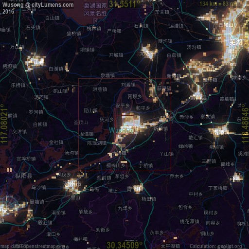


Analysis of Wusong night lights 2016
Square area 10x10 km:
 13.74%
90-99
13%80-89
8.61%70-79
9.71%60-69
10.07%50-59
6.23%40-49
5.13%30-39
2.2%20-29
10.07%10-19
16.67%0-9
4.58%Square area 50x50 km:
1.08%90-99
1.16%80-89
1.39%70-79
1.19%60-69
1.4%50-59
1.08%40-49
1.45%30-39
1.28%20-29
2.37%10-19
6.51%0-9
81.09%Clear (daylight) street map image can be seen on geolist.org.
Map coordinates:
31° 33' 4" North, 117° 4' 48.8" East
30° 57' 0" North, 117° 46' 60" East
30° 20' 42.3" North, 118° 29' 11.3" East
Some cities around Wusong sort by population:
• Hefei
112.2 km =69.7 mi,  334°
334°
• Wuhu
70.8 km =44 mi,  52°
52°
• Anqing
85.5 km =53.1 mi,  235°
235°
• Chizhou
43.4 km =27 mi,  222°
222°
• Chaohu
72.7 km =45.2 mi,  6°
6°
• Xuanzhou
92.7 km =57.6 mi,  89°
89°
• Lucheng
57.3 km =35.6 mi,  303°
303°
• Gushu
94.9 km =59 mi,  44°
44°
1792621 (p: 312,588)
Sources (retrieved 2019-11-25):
» NASA, Earths city lights 1995
» NASA city lights 2003
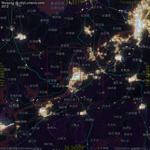
» Earth at Night: Flat Maps 2012, 2016