Wuhu night lights from space
Night Light of Wuhu (Anhui) from space (China) Src. Average luminocity for 10x10km area is 81.8462% and for 50x50km: 26.1565%.
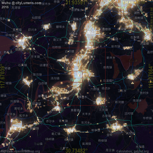
Analysis of Wuhu night lights 2016
Square area 10x10 km:
 27.62%
90-99
29.55%80-89
7.87%70-79
7.52%60-69
9.44%50-59
4.2%40-49
4.9%30-39
4.37%20-29
4.55%10-19
0%0-9
0%Square area 50x50 km:
3.22%90-99
4.45%80-89
3.87%70-79
3.98%60-69
4.13%50-59
3.54%40-49
4.02%30-39
4.2%20-29
7.12%10-19
13.97%0-9
47.49%Clear (daylight) street map image can be seen on geolist.org.
Map coordinates:
31° 56' 9.3" North, 117° 40' 13.4" East
31° 20' 14.2" North, 118° 22' 24.6" East
30° 44' 5.4" North, 119° 4' 35.9" East
Some cities around Wuhu sort by population:
• Nanjing
89.2 km =55.4 mi,  25°
25°
• Wusong
70.8 km =44 mi,  232°
232°
• Chaohu
56.2 km =34.9 mi,  301°
301°
• Xuanzhou
56.1 km =34.9 mi,  139°
139°
• Lucheng
104.5 km =64.9 mi,  263°
263°
• Licheng
105.8 km =65.7 mi,  84°
84°
• Xiaolingwei
89.7 km =55.7 mi, 30°
• Gushu
26.9 km =16.7 mi,  22°
22°
1791236 (p: 507,524)
Sources (retrieved 2019-11-25):
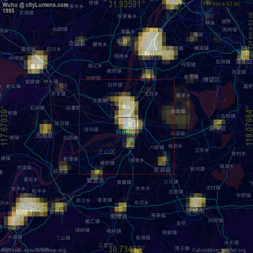
» NASA, Earths city lights 1995
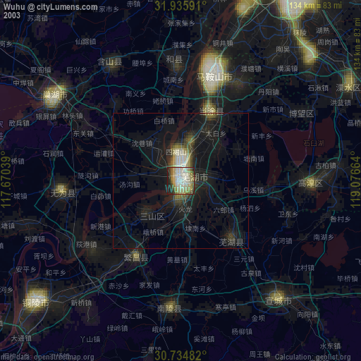
» NASA city lights 2003
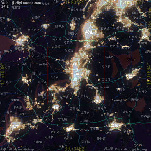
» Earth at Night: Flat Maps 2012, 2016