Lucheng night lights from space
Night Light of Lucheng (Anhui) from space (China) Src. Average luminocity for 10x10km area is 48.4524% and for 50x50km: 3.2454%.
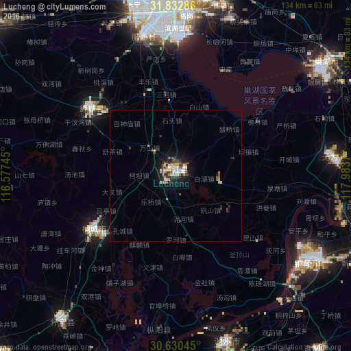
Analysis of Lucheng night lights 2016
Square area 10x10 km:
 10.44%
90-99
10.07%80-89
8.24%70-79
5.13%60-69
4.76%50-59
4.21%40-49
5.86%30-39
12.45%20-29
5.13%10-19
23.99%0-9
9.71%Square area 50x50 km:
0.43%90-99
0.45%80-89
0.51%70-79
0.25%60-69
0.33%50-59
0.42%40-49
0.39%30-39
0.73%20-29
0.49%10-19
2.85%0-9
93.15%Clear (daylight) street map image can be seen on geolist.org.
Map coordinates:
31° 49' 58.3" North, 116° 34' 38.8" East
31° 14' 0.9" North, 117° 16' 50.1" East
30° 37' 49.6" North, 117° 59' 1.3" East
Some cities around Lucheng sort by population:
• Hefei
70.1 km =43.6 mi,  0°
0°
• Wuhu
104.5 km =64.9 mi,  83°
83°
• Anqing
83.1 km =51.6 mi,  195°
195°
• Wusong
57.3 km =35.6 mi,  123°
123°
• Chizhou
66.3 km =41.2 mi,  163°
163°
• Chaohu
68.9 km =42.8 mi,  53°
53°
• Wuyang
129.2 km =80.3 mi,  310°
310°
• Gushu
119.6 km =74.3 mi,  72°
72°
1802068 (p: 89,119)
Sources (retrieved 2019-11-25):
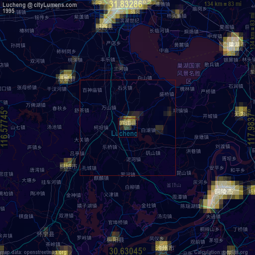
» NASA, Earths city lights 1995
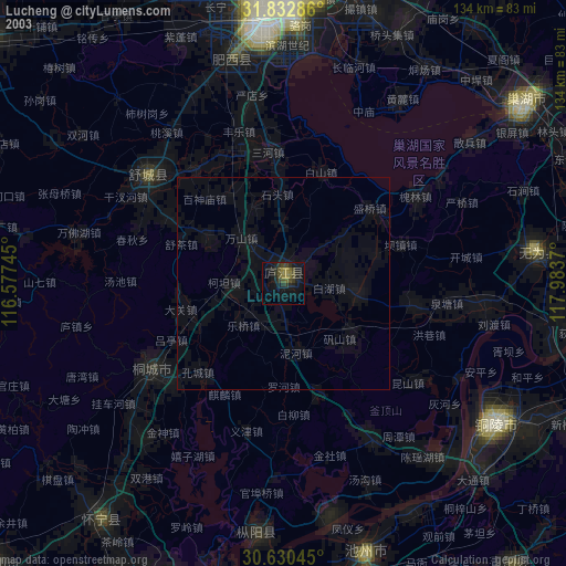
» NASA city lights 2003
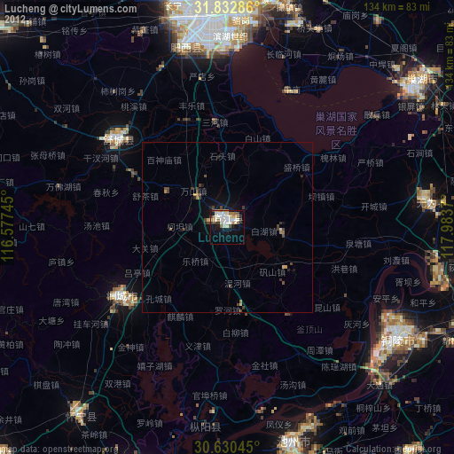
» Earth at Night: Flat Maps 2012, 2016