Yutan night lights from space
Night Light of Yutan (Hunan) from space (China) Src. Average luminocity for 10x10km area is 50.7321% and for 50x50km: 6.6239%.
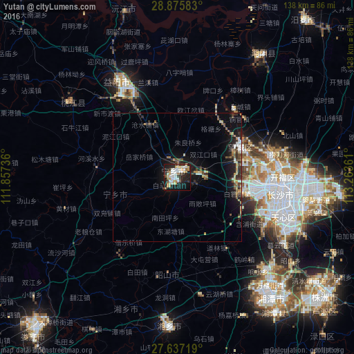
Analysis of Yutan night lights 2016
Square area 10x10 km:
 11.9%
11.9%90-99
12.7%80-89
6.55%70-79
7.94%60-69
5.36%50-59
0.79%40-49
4.76%30-39
3.77%20-29
14.29%10-19
28.37%0-9
3.57%Square area 50x50 km:
0.73%90-99
0.89%80-89
0.83%70-79
0.82%60-69
0.81%50-59
0.64%40-49
1.05%30-39
0.96%20-29
2.15%10-19
5.91%0-9
85.21%Clear (daylight) street map image can be seen on geolist.org.
Map coordinates:
28° 52' 33" North, 111° 51' 26.5" East
28° 15' 29.9" North, 112° 33' 37.7" East
27° 38' 13.9" North, 113° 15' 49" East
Some cities around Yutan sort by population:
• Changsha
40.7 km =25.3 mi,  99°
99°
• Zhuzhou
74.7 km =46.4 mi,  129°
129°
• Xiangtan
56.3 km =35 mi,  143°
143°
• Yiyang
43.2 km =26.8 mi,  328°
328°
• Loudi
80.5 km =50 mi,  223°
223°
• Xiangxiang
58.4 km =36.3 mi,  182°
182°
• Qionghu
67.3 km =41.8 mi,  344°
344°
• Wenxing
56.5 km =35.1 mi,  33°
33°
1799352 (p: 55,312)
Sources (retrieved 2019-11-25):
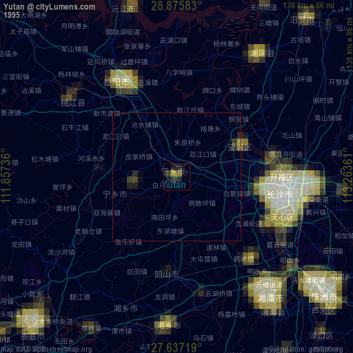
» NASA, Earths city lights 1995
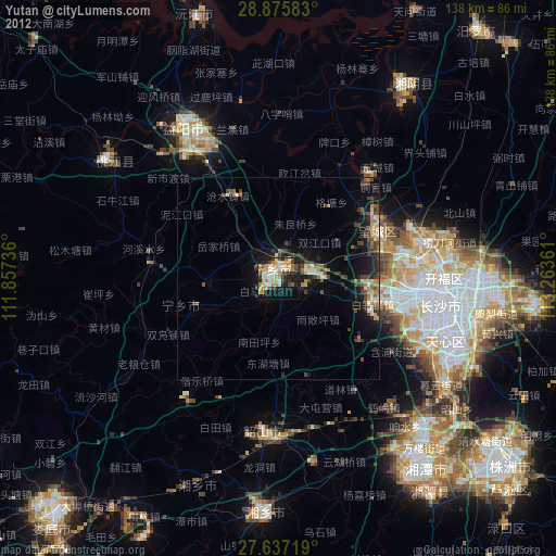
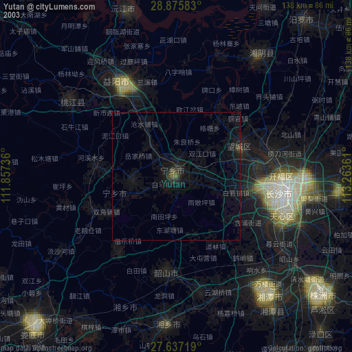
» NASA city lights 2003
» Earth at Night: Flat Maps 2012, 2016