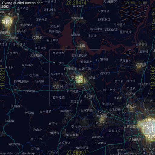
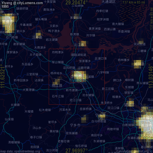
Yiyang night lights from space
Night Light of Yiyang (Hunan) from space (China) Src. Average luminocity for 10x10km area is 46.7405% and for 50x50km: 3.9657%.

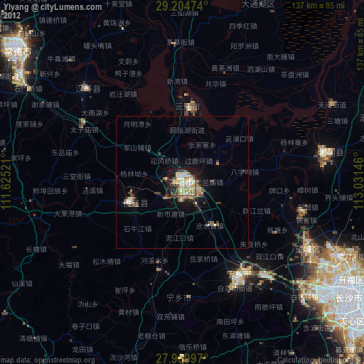
Analysis of Yiyang night lights 2016
Square area 10x10 km:
 7.2%
7.2%90-99
11.74%80-89
6.82%70-79
7.95%60-69
5.49%50-59
4.92%40-49
4.17%30-39
6.06%20-29
8.71%10-19
26.14%0-9
10.8%Square area 50x50 km:
0.37%90-99
0.59%80-89
0.46%70-79
0.52%60-69
0.47%50-59
0.68%40-49
0.54%30-39
0.66%20-29
1.29%10-19
3.11%0-9
91.31%Clear (daylight) street map image can be seen on geolist.org.
Map coordinates:
29° 12' 17.1" North, 111° 37' 30.8" East
28° 35' 21" North, 112° 19' 42" East
27° 58' 11.9" North, 113° 1' 53.3" East
Some cities around Yiyang sort by population:
• Changsha
76.4 km =47.5 mi,  124°
124°
• Changde
81.2 km =50.5 mi,  308°
308°
• Xiangxiang
97.3 km =60.5 mi,  168°
168°
• Qionghu
28.3 km =17.6 mi,  9°
9°
• Anxiang
91.8 km =57 mi,  349°
349°
• Wenxing
54.7 km =34 mi,  79°
79°
• Yutan
43.2 km =26.8 mi,  148°
148°
• Nanzhou
86 km =53.4 mi,  4°
4°
1808316 (p: 202,608)
Sources (retrieved 2019-11-25):
» NASA, Earths city lights 1995
» NASA city lights 2003
» Earth at Night: Flat Maps 2012, 2016