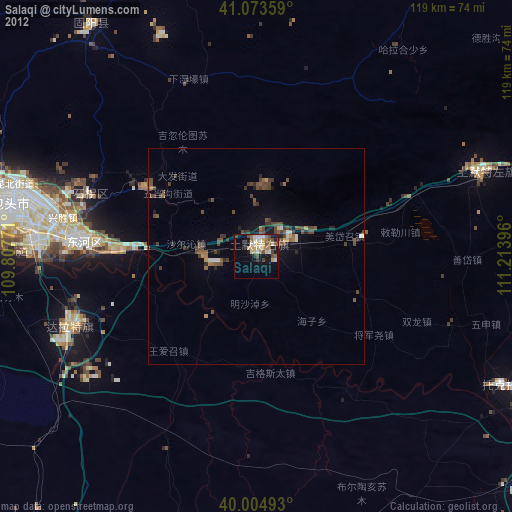
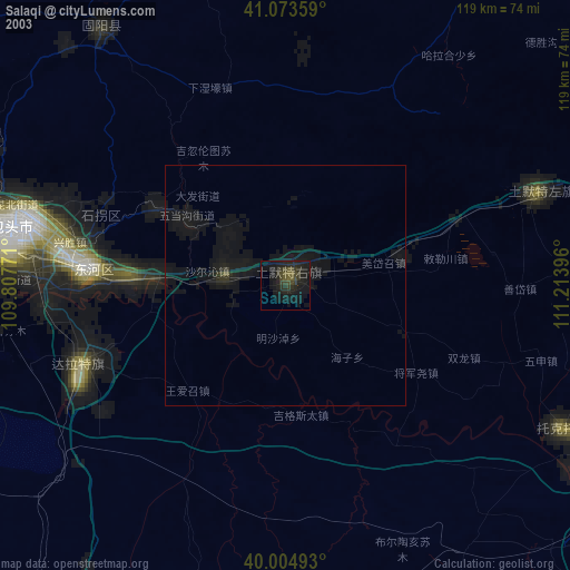
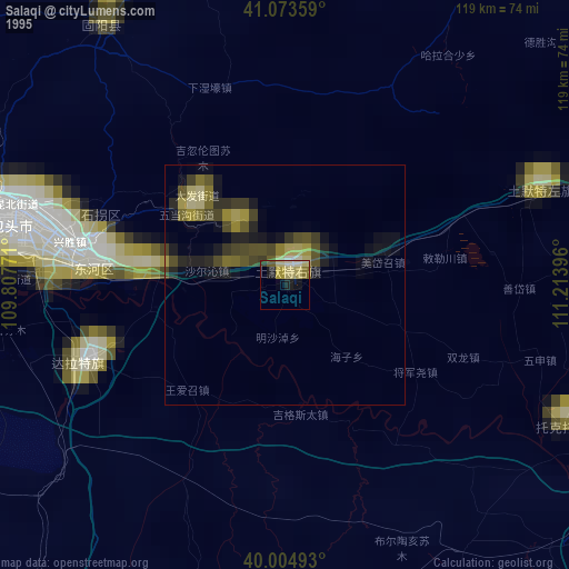
Salaqi night lights from space
Night Light of Salaqi (Inner Mongolia) from space (China) Src. Average luminocity for 10x10km area is 13.9172% and for 50x50km: 1.4846%.
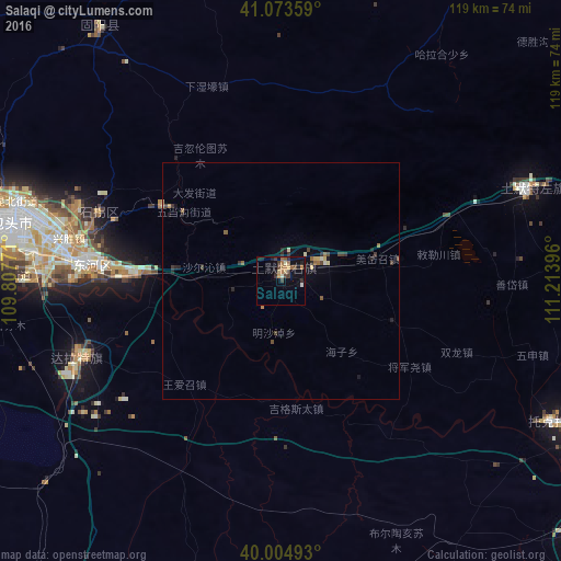
Analysis of Salaqi night lights 2016
Square area 10x10 km:
 0.16%
0.16%90-99
1.62%80-89
2.11%70-79
0.65%60-69
5.03%50-59
0.81%40-49
2.11%30-39
3.9%20-29
2.92%10-19
7.14%0-9
73.54%Square area 50x50 km:
0.01%90-99
0.14%80-89
0.27%70-79
0.08%60-69
0.33%50-59
0.14%40-49
0.29%30-39
0.41%20-29
0.39%10-19
0.58%0-9
97.36%Clear (daylight) street map image can be seen on geolist.org.
Map coordinates:
41° 4' 24.9" North, 109° 48' 27.8" East
40° 32' 29" North, 110° 30' 39" East
40° 0' 17.7" North, 111° 12' 50.3" East
Some cities around Salaqi sort by population:
• Ordos
120.9 km =75.1 mi,  210°
210°
• Baotou
59.4 km =36.9 mi,  281°
281°
• Datong
240.9 km =149.7 mi,  101°
101°
• Hohhot
100.8 km =62.6 mi,  72°
72°
• Jining
225 km =139.8 mi,  76°
76°
• Dongsheng
92.5 km =57.5 mi, 209°
• Beichengqu
223.8 km =139.1 mi,  92°
92°
• Shiguai
26.4 km =16.4 mi,  313°
313°
2035196 (p: 64,704)
Sources (retrieved 2019-11-25):
» NASA, Earths city lights 1995
» NASA city lights 2003
» Earth at Night: Flat Maps 2012, 2016