Beichengqu night lights from space
Night Light of Beichengqu (Inner Mongolia) from space (China) Src. Average luminocity for 10x10km area is 28.1003% and for 50x50km: 1.6826%.
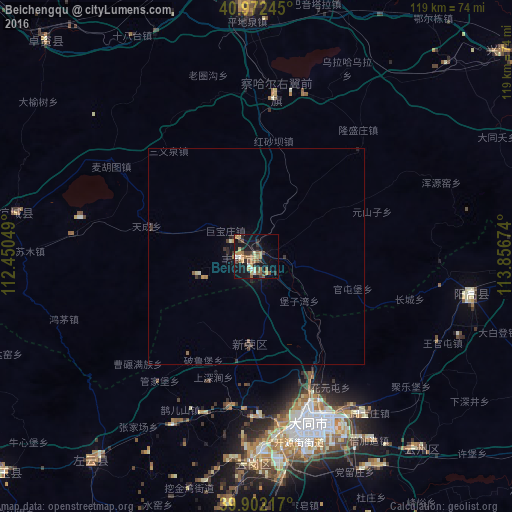
Analysis of Beichengqu night lights 2016
Square area 10x10 km:
 1.19%
1.19%90-99
3.06%80-89
3.23%70-79
5.61%60-69
5.78%50-59
7.48%40-49
1.7%30-39
7.99%20-29
1.87%10-19
28.23%0-9
33.84%Square area 50x50 km:
0.05%90-99
0.17%80-89
0.15%70-79
0.27%60-69
0.32%50-59
0.33%40-49
0.14%30-39
0.56%20-29
0.22%10-19
1.4%0-9
96.39%Clear (daylight) street map image can be seen on geolist.org.
Map coordinates:
40° 58' 20.8" North, 112° 27' 1.8" East
40° 26' 22" North, 113° 9' 13" East
39° 54' 7.8" North, 113° 51' 24.3" East
Some cities around Beichengqu sort by population:
• Datong
40.2 km =25 mi,  163°
163°
• Hohhot
133.3 km =82.8 mi,  288°
288°
• Zhangjiakou
151.4 km =94.1 mi,  74°
74°
• Zhangjiakou Shi Xuanhua Qu
161 km =100 mi,  83°
83°
• Jining
65.5 km =40.7 mi,  356°
356°
• Xinzhou
228.6 km =142 mi,  189°
189°
• Yuanping
194.7 km =121 mi, 190°
• Salaqi
223.8 km =139.1 mi,  272°
272°
2037391 (p: 72,444)
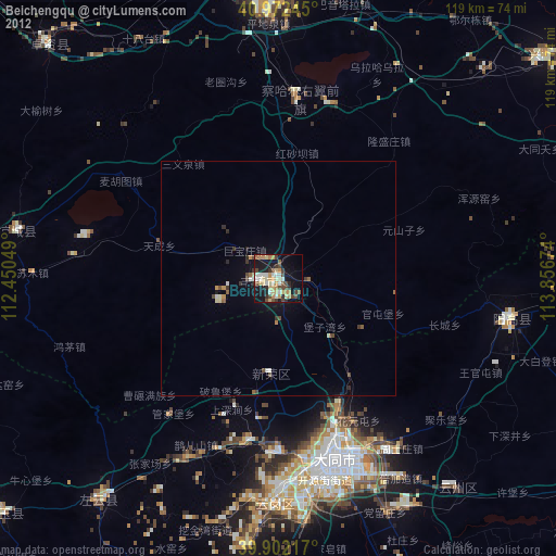
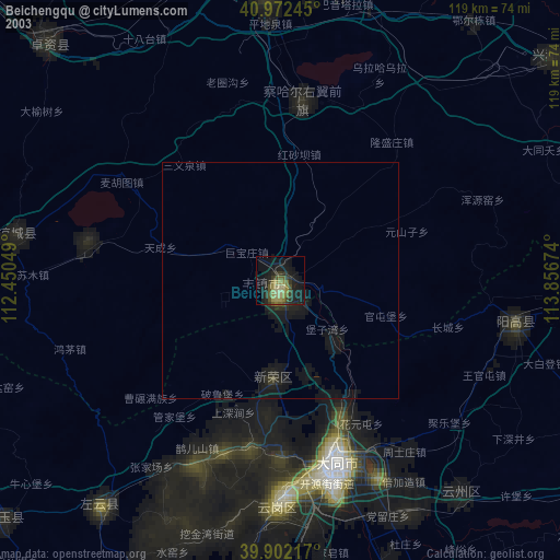
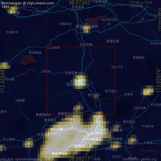
Sources (retrieved 2019-11-25):
» NASA, Earths city lights 1995
» NASA city lights 2003
» Earth at Night: Flat Maps 2012, 2016