Changde night lights from space
Night Light of Changde (Hunan) from space (China) Src. Average luminocity for 10x10km area is 75.1429% and for 50x50km: 7.6535%.
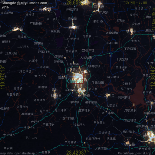

Analysis of Changde night lights 2016
Square area 10x10 km:
 22.42%
90-99
22.22%80-89
8.93%70-79
9.72%60-69
8.53%50-59
8.53%40-49
2.58%30-39
7.74%20-29
8.53%10-19
0.79%0-9
0%Square area 50x50 km:
1.19%90-99
1.39%80-89
0.71%70-79
0.93%60-69
0.78%50-59
1.14%40-49
1.12%30-39
1.16%20-29
2.35%10-19
4.61%0-9
84.62%Clear (daylight) street map image can be seen on geolist.org.
Map coordinates:
29° 39' 33.2" North, 110° 58' 30.6" East
29° 2' 47" North, 111° 40' 41.9" East
28° 25' 47.5" North, 112° 22' 53.1" East
Some cities around Changde sort by population:
• Yiyang
81.2 km =50.5 mi,  128°
128°
• Xiulin
102.2 km =63.5 mi,  43°
43°
• Zhangjiajie
117 km =72.7 mi,  274°
274°
• Jinshi
64.8 km =40.3 mi,  16°
16°
• Qionghu
71.5 km =44.4 mi,  108°
108°
• Anxiang
60.3 km =37.5 mi,  49°
49°
• Nanzhou
78.4 km =48.7 mi,  63°
63°
• Wulingyuan
115.1 km =71.5 mi,  287°
287°
1791121 (p: 517,780)
Sources (retrieved 2019-11-25):
» NASA, Earths city lights 1995
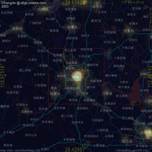
» NASA city lights 2003
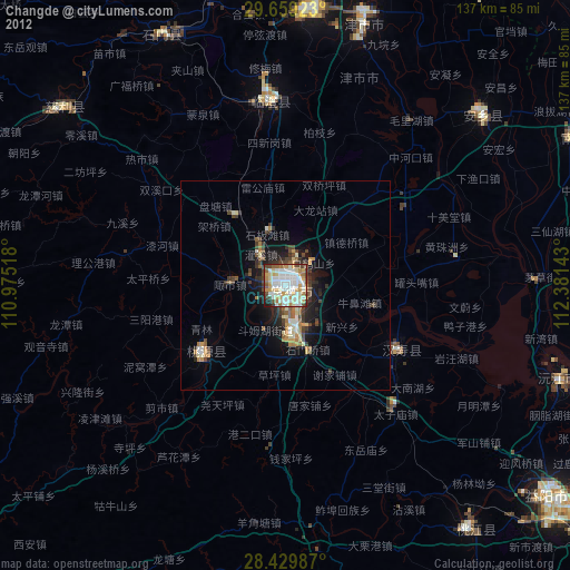
» Earth at Night: Flat Maps 2012, 2016