Huocheng night lights from space
Night Light of Huocheng (Xinjiang) from space (China) Src. Average luminocity for 10x10km area is 13.2873% and for 50x50km: 1.2108%.
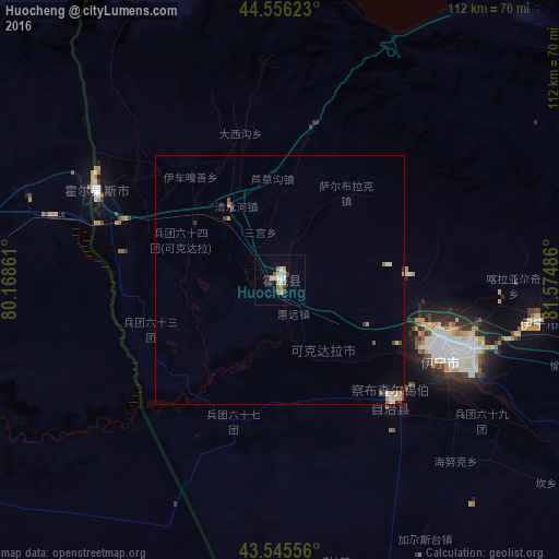
Analysis of Huocheng night lights 2016
Square area 10x10 km:
 0.95%
0.95%90-99
2.06%80-89
2.86%70-79
2.86%60-69
1.43%50-59
1.43%40-49
0.48%30-39
1.27%20-29
0.63%10-19
2.06%0-9
83.97%Square area 50x50 km:
0.07%90-99
0.2%80-89
0.23%70-79
0.24%60-69
0.13%50-59
0.13%40-49
0.13%30-39
0.13%20-29
0.14%10-19
0.09%0-9
98.5%Clear (daylight) street map image can be seen on geolist.org.
Map coordinates:
44° 33' 22.4" North, 80° 10' 7" East
44° 3' 11" North, 80° 52' 18.2" East
43° 32' 44" North, 81° 34' 29.5" East
Some cities around Huocheng sort by population:
• Xinyuan
203.3 km =126.3 mi,  110°
110°
• Qapqal
32.8 km =20.4 mi,  148°
148°
• Taldykorgan, KZ
225 km =139.8 mi,  298°
298°
• Sarkand, KZ
168.9 km =104.9 mi,  333°
333°
• Zharkent, KZ
70.2 km =43.6 mi,  280°
280°
• Tekeli, KZ
183.8 km =114.2 mi, 298°
• Balpyk Bī, KZ
229.7 km =142.7 mi,  294°
294°
• Kegen, KZ
175.7 km =109.2 mi,  229°
229°
11694038 (p: 360,000)
Sources (retrieved 2019-11-25):
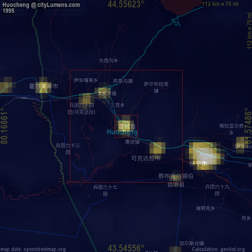
» NASA, Earths city lights 1995
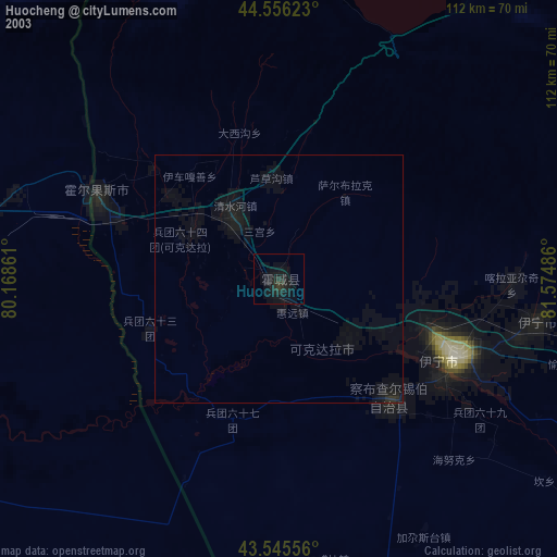
» NASA city lights 2003
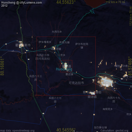
» Earth at Night: Flat Maps 2012, 2016