Qapqal night lights from space
Night Light of Qapqal (Xinjiang) from space (China) Src. Average luminocity for 10x10km area is 4.0348% and for 50x50km: 6.1946%.
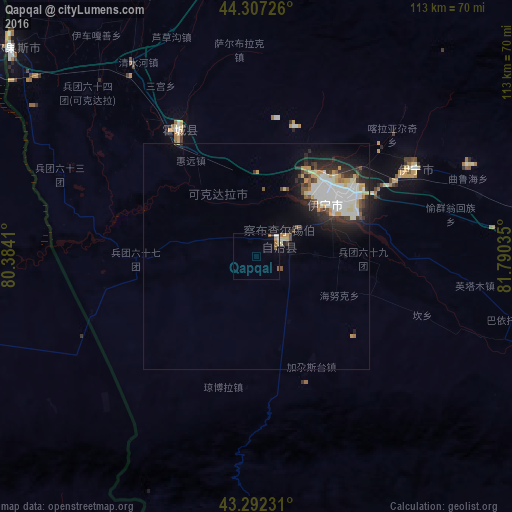


Analysis of Qapqal night lights 2016
Square area 10x10 km:
 0.15%
0.15%90-99
1.21%80-89
0.15%70-79
0.61%60-69
0.3%50-59
1.82%40-49
0%30-39
0%20-29
0.61%10-19
0.15%0-9
95%Square area 50x50 km:
1.57%90-99
1.38%80-89
0.59%70-79
0.77%60-69
0.25%50-59
0.41%40-49
0.57%30-39
0.81%20-29
1.93%10-19
3.06%0-9
88.66%Clear (daylight) street map image can be seen on geolist.org.
Map coordinates:
44° 18' 26.1" North, 80° 23' 2.8" East
43° 48' 7" North, 81° 5' 14" East
43° 17' 32.3" North, 81° 47' 25.3" East
Some cities around Qapqal sort by population:
• Huocheng
32.8 km =20.4 mi,  328°
328°
• Xinyuan
179 km =111.2 mi,  103°
103°
• Sarkand, KZ
201.5 km =125.2 mi, 332°
• Zharkent, KZ
95.5 km =59.3 mi,  295°
295°
• Tekeli, KZ
213 km =132.4 mi, 302°
• Tyup, KG
250.7 km =155.8 mi,  241°
241°
• Ak-Suu, KG
253.2 km =157.3 mi, 235°
• Kegen, KZ
174 km =108.1 mi, 240°
1529279 (p: 160,000)
Sources (retrieved 2019-11-25):
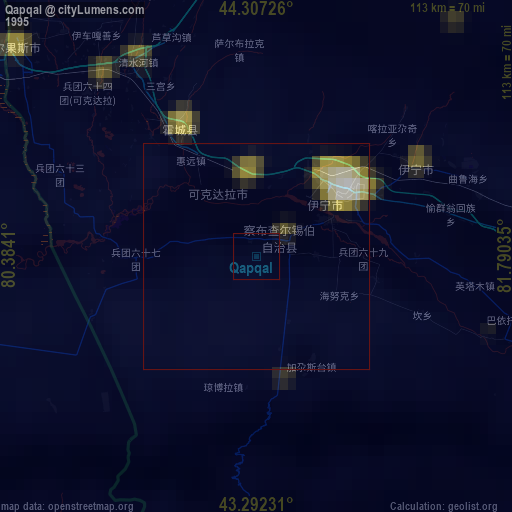
» NASA, Earths city lights 1995
» NASA city lights 2003
» Earth at Night: Flat Maps 2012, 2016