Zharkent night lights from space
Night Light of Zharkent (Almaty Oblysy) from space (Kazakhstan) Src. Average luminocity for 10x10km area is 3.1409% and for 50x50km: 0.2606%.
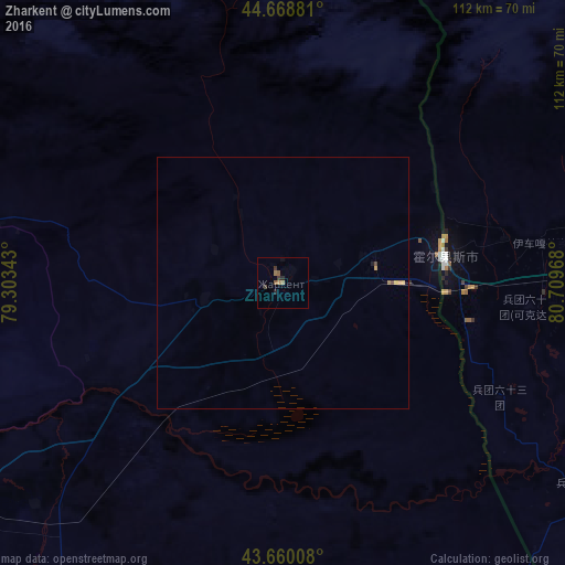
Analysis of Zharkent night lights 2016
Square area 10x10 km:
 0%
0%90-99
0%80-89
0%70-79
0.3%60-69
1.21%50-59
1.52%40-49
0.45%30-39
1.36%20-29
0.91%10-19
0.61%0-9
93.64%Square area 50x50 km:
0%90-99
0%80-89
0%70-79
0.09%60-69
0.09%50-59
0.07%40-49
0.07%30-39
0.06%20-29
0.04%10-19
0.05%0-9
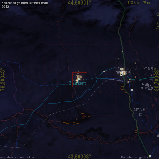
99.54%Clear (daylight) street map image can be seen on geolist.org.
Map coordinates:
44° 40' 7.7" North, 79° 18' 12.3" East
44° 9' 59.8" North, 80° 0' 23.6" East
43° 39' 36.3" North, 80° 42' 34.8" East
Some cities around Zharkent sort by population:
• Huocheng, CN
70.2 km =43.6 mi,  100°
100°
• Qapqal, CN
95.5 km =59.3 mi,  115°
115°
• Taldykorgan
160.1 km =99.5 mi,  306°
306°
• Sarkand
138.6 km =86.1 mi,  357°
357°
• Tekeli
119.1 km =74 mi, 308°
• Saryozek
163.4 km =101.5 mi,  277°
277°
• Balpyk Bī
162.7 km =101.1 mi,  300°
300°
• Kegen
142.2 km =88.4 mi,  206°
206°
1520253 (p: 34,422)
Sources (retrieved 2019-11-25):
» Earth at Night: Flat Maps 2012, 2016