Kegen night lights from space
Night Light of Kegen (Almaty Oblysy) from space (Kazakhstan) Src. Average luminocity for 10x10km area is 0% and for 50x50km: 0%.
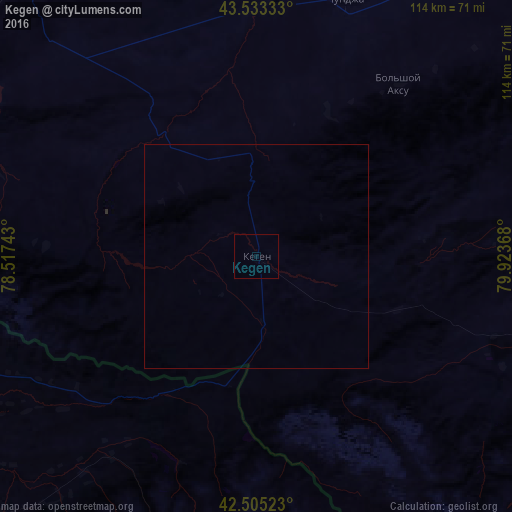
Analysis of Kegen night lights 2016
Square area 10x10 km:
 0%
0%90-99
0%80-89
0%70-79
0%60-69
0%50-59
0%40-49
0%30-39
0%20-29
0%10-19
0%0-9
100%Square area 50x50 km:
0%90-99
0%80-89
0%70-79
0%60-69
0%50-59
0%40-49
0%30-39
0%20-29
0%10-19
0%0-9
100%Clear (daylight) street map image can be seen on geolist.org.
Map coordinates:
43° 31' 60" North, 78° 31' 2.7" East
43° 1' 17.1" North, 79° 13' 14" East
42° 30' 18.8" North, 79° 55' 25.2" East
Some cities around Kegen sort by population:
• Karakol, KG
89.7 km =55.7 mi,  228°
228°
• Talghar
163.6 km =101.7 mi,  281°
281°
• Zharkent
142.2 km =88.4 mi,  26°
26°
• Esik
148.1 km =92 mi, 284°
• Kyzyl-Suu, KG
124.7 km =77.5 mi, 232°
• Tyup, KG
77 km =47.8 mi,  244°
244°
• Turgen
138.4 km =86 mi,  287°
287°
• Ak-Suu, KG
81.1 km =50.4 mi,  224°
224°
1522818 (p: 9,993)
Sources (retrieved 2019-11-25):
» Earth at Night: Flat Maps 2012, 2016