Taldykorgan night lights from space
Night Light of Taldykorgan (Almaty Oblysy) from space (Kazakhstan) Src. Average luminocity for 10x10km area is 30.3143% and for 50x50km: 1.4972%.
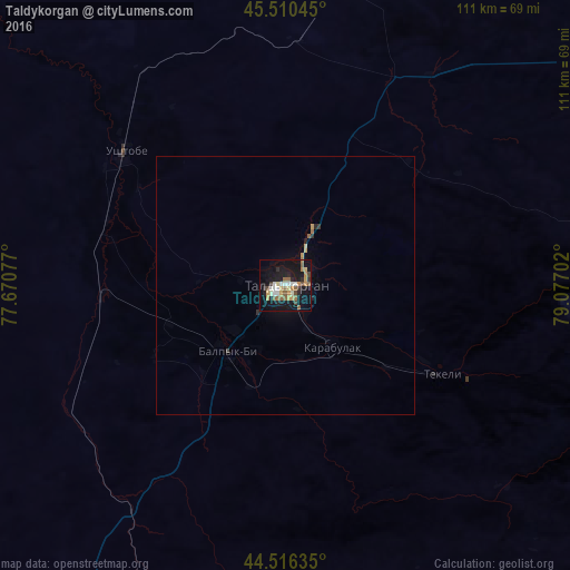
Analysis of Taldykorgan night lights 2016
Square area 10x10 km:
 3.17%
3.17%90-99
5.08%80-89
3.02%70-79
5.56%60-69
3.81%50-59
6.35%40-49
2.86%30-39
2.54%20-29
4.6%10-19
36.03%0-9
26.98%Square area 50x50 km:
0.12%90-99
0.19%80-89
0.16%70-79
0.27%60-69
0.2%50-59
0.25%40-49
0.13%30-39
0.16%20-29
0.26%10-19
1.45%0-9
96.81%Clear (daylight) street map image can be seen on geolist.org.
Map coordinates:
45° 30' 37.6" North, 77° 40' 14.8" East
45° 0' 56" North, 78° 22' 26" East
44° 30' 58.9" North, 79° 4' 37.3" East
Some cities around Taldykorgan sort by population:
• Sarkand
128.5 km =79.8 mi,  69°
69°
• Kapshagay
164.7 km =102.3 mi,  219°
219°
• Zharkent
160.1 km =99.5 mi,  126°
126°
• Tekeli
41.3 km =25.7 mi,  119°
119°
• Ush-Tyube
40.6 km =25.2 mi,  310°
310°
• Saryozek
79.3 km =49.3 mi,  203°
203°
• Balpyk Bī
16.9 km =10.5 mi, 221°
• Lepsy
142.7 km =88.7 mi,  18°
18°
1518542 (p: 116,558)
Sources (retrieved 2019-11-25):
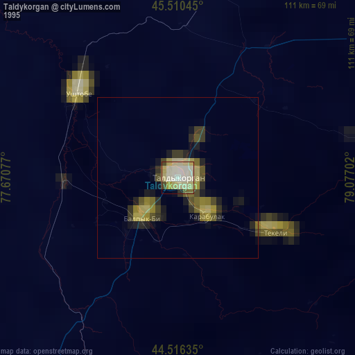
» NASA, Earths city lights 1995
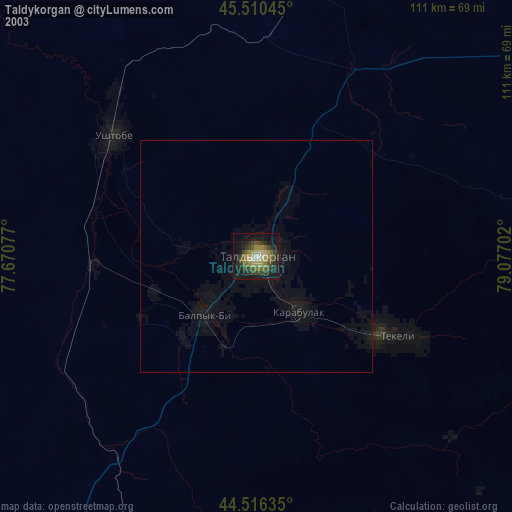
» NASA city lights 2003
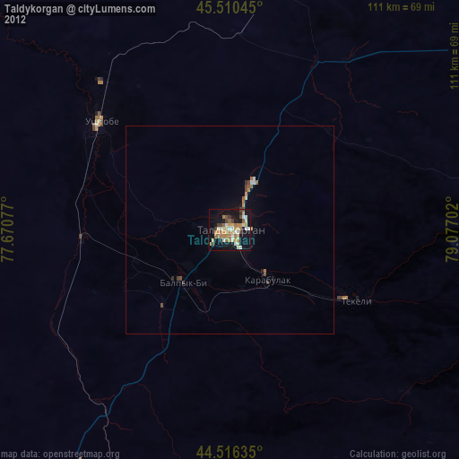
» Earth at Night: Flat Maps 2012, 2016