Xinyuan night lights from space
Night Light of Xinyuan (Xinjiang) from space (China) Src. Average luminocity for 10x10km area is 3.1159% and for 50x50km: 0.3169%.
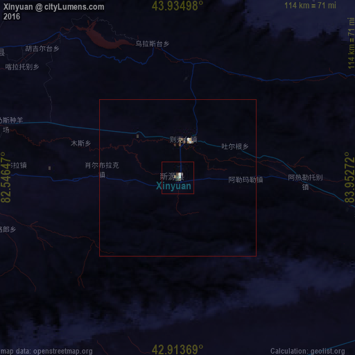
Analysis of Xinyuan night lights 2016
Square area 10x10 km:
 0.48%
0.48%90-99
0.79%80-89
0%70-79
0%60-69
0%50-59
0.16%40-49
1.75%30-39
1.27%20-29
0.63%10-19
0%0-9
94.92%Square area 50x50 km:
0.04%90-99
0.06%80-89
0%70-79
0.03%60-69
0%50-59
0.03%40-49
0.16%30-39
0.09%20-29
0.13%10-19
0%0-9
99.47%Clear (daylight) street map image can be seen on geolist.org.
Map coordinates:
43° 56' 5.9" North, 82° 32' 47.3" East
43° 25' 35.4" North, 83° 14' 58.5" East
42° 54' 49.3" North, 83° 57' 9.8" East
Some cities around Xinyuan sort by population:
• Shihezi
243.7 km =151.4 mi,  66°
66°
• Huocheng
203.3 km =126.3 mi,  290°
290°
• Karamay
272.8 km =169.5 mi,  28°
28°
• Qapqal
179 km =111.2 mi,  283°
283°
• Baijiantan
293.1 km =182.1 mi, 30°
• Kuqa
191.9 km =119.2 mi,  187°
187°
• Zharkent, KZ
273 km =169.6 mi, 287°
• Baluntaicun
263.7 km =163.9 mi,  108°
108°
1529046 (p: 300,000)
Sources (retrieved 2019-11-25):
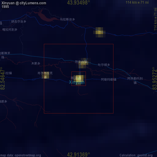
» NASA, Earths city lights 1995
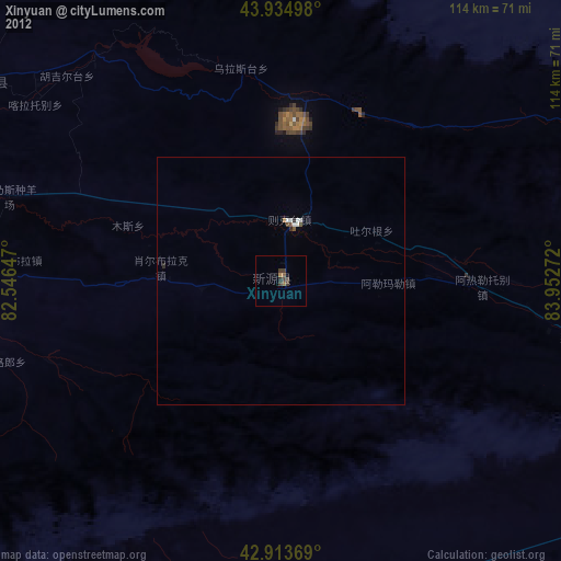
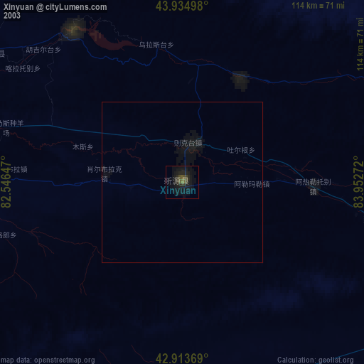
» NASA city lights 2003
» Earth at Night: Flat Maps 2012, 2016