Tekeli night lights from space
Night Light of Tekeli (Almaty Oblysy) from space (Kazakhstan) Src. Average luminocity for 10x10km area is 0.2508% and for 50x50km: 0.0156%.
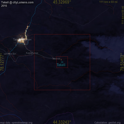
Analysis of Tekeli night lights 2016
Square area 10x10 km:
 0%
0%90-99
0%80-89
0%70-79
0%60-69
0%50-59
0%40-49
0%30-39
0.63%20-29
0%10-19
0%0-9
99.37%Square area 50x50 km:
0%90-99
0%80-89
0%70-79
0%60-69
0%50-59
0%40-49
0%30-39
0.02%20-29
0.02%10-19
0%0-9
99.95%Clear (daylight) street map image can be seen on geolist.org.
Map coordinates:
45° 19' 46.9" North, 78° 7' 40" East
44° 49' 59.6" North, 78° 49' 51.2" East
44° 19' 56.7" North, 79° 32' 2.5" East
Some cities around Tekeli sort by population:
• Taldykorgan
41.3 km =25.7 mi,  299°
299°
• Sarkand
106.6 km =66.2 mi,  52°
52°
• Kapshagay
176.9 km =109.9 mi,  232°
232°
• Zharkent
119.1 km =74 mi,  128°
128°
• Ush-Tyube
81.5 km =50.6 mi, 304°
• Saryozek
85.8 km =53.3 mi, 232°
• Balpyk Bī
47.8 km =29.7 mi,  279°
279°
• Lepsy
156.1 km =97 mi,  3°
3°
1518296 (p: 26,678)
Sources (retrieved 2019-11-25):
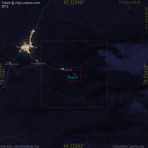
» Earth at Night: Flat Maps 2012, 2016