Balpyk Bī night lights from space
Night Light of Balpyk Bī (Almaty Oblysy) from space (Kazakhstan) Src. Average luminocity for 10x10km area is 0.3698% and for 50x50km: 1.5229%.
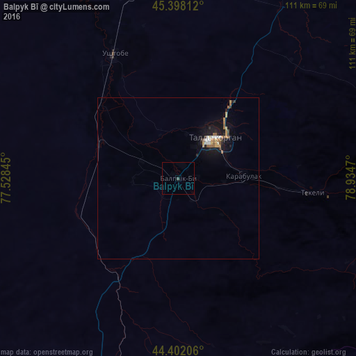
Analysis of Balpyk Bī night lights 2016
Square area 10x10 km:
 0%
0%90-99
0%80-89
0%70-79
0%60-69
0%50-59
0%40-49
0.63%30-39
0%20-29
0%10-19
0%0-9
99.37%Square area 50x50 km:
0.12%90-99
0.2%80-89
0.16%70-79
0.27%60-69
0.2%50-59
0.25%40-49
0.14%30-39
0.16%20-29
0.26%10-19
1.48%0-9
96.75%Clear (daylight) street map image can be seen on geolist.org.
Map coordinates:
45° 23' 53.2" North, 77° 31' 42.4" East
44° 54' 8.1" North, 78° 13' 53.7" East
44° 24' 7.4" North, 78° 56' 4.9" East
Some cities around Balpyk Bī sort by population:
• Taldykorgan
16.9 km =10.5 mi,  41°
41°
• Sarkand
143.6 km =89.2 mi,  66°
66°
• Kapshagay
147.9 km =91.9 mi,  218°
218°
• Tekeli
47.8 km =29.7 mi,  99°
99°
• Ush-Tyube
43.6 km =27.1 mi,  333°
333°
• Saryozek
63.5 km =39.5 mi,  198°
198°
• Bakanas
154.8 km =96.2 mi,  266°
266°
• Lepsy
158.3 km =98.4 mi,  20°
20°
1522642 (p: 11,810)
Sources (retrieved 2019-11-25):
» Earth at Night: Flat Maps 2012, 2016