Feicheng night lights from space
Night Light of Feicheng (Shandong) from space (China) Src. Average luminocity for 10x10km area is 24.7028% and for 50x50km: 6.1053%.
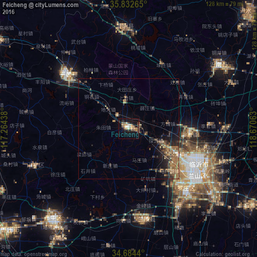


Analysis of Feicheng night lights 2016
Square area 10x10 km:
 0.7%
0.7%90-99
3.5%80-89
3.32%70-79
5.42%60-69
3.5%50-59
2.97%40-49
4.9%30-39
3.15%20-29
5.07%10-19
26.75%0-9
40.73%Square area 50x50 km:
0.06%90-99
0.25%80-89
0.93%70-79
0.71%60-69
1.29%50-59
1.68%40-49
1.28%30-39
1.66%20-29
1.88%10-19
3.77%0-9
86.49%Clear (daylight) street map image can be seen on geolist.org.
Map coordinates:
35° 49' 57.5" North, 117° 15' 51.8" East
35° 15' 38" North, 117° 58' 3" East
34° 41' 3.8" North, 118° 40' 14.3" East
Some cities around Feicheng sort by population:
• Linyi
40.6 km =25.2 mi,  122°
122°
• Zaozhuang
57.9 km =36 mi,  220°
220°
• Shanting
50.7 km =31.5 mi,  246°
246°
• Pingyi
40.5 km =25.2 mi,  311°
311°
• Dongdu
69.9 km =43.4 mi,  339°
339°
• Jiehu
54.2 km =33.7 mi,  54°
54°
• Mengyin
49.8 km =30.9 mi,  355°
355°
• Bianzhuang
46.3 km =28.8 mi,  171°
171°
1811440 (p: 80,929)
Sources (retrieved 2019-11-25):
» NASA, Earths city lights 1995
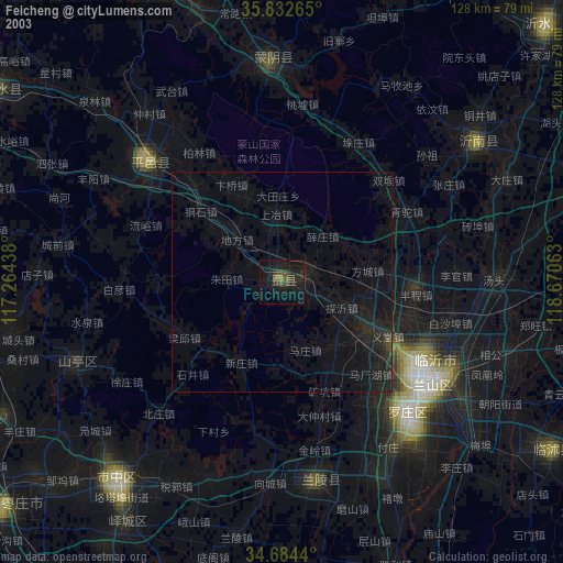
» NASA city lights 2003
» Earth at Night: Flat Maps 2012, 2016